
Magnitude |
3.8 |
| Date & Time (UTC) | 2013-04-10 00:36:00.8 |
| Date & Time (Local) | 1392/1/21 05:06:00.8 |
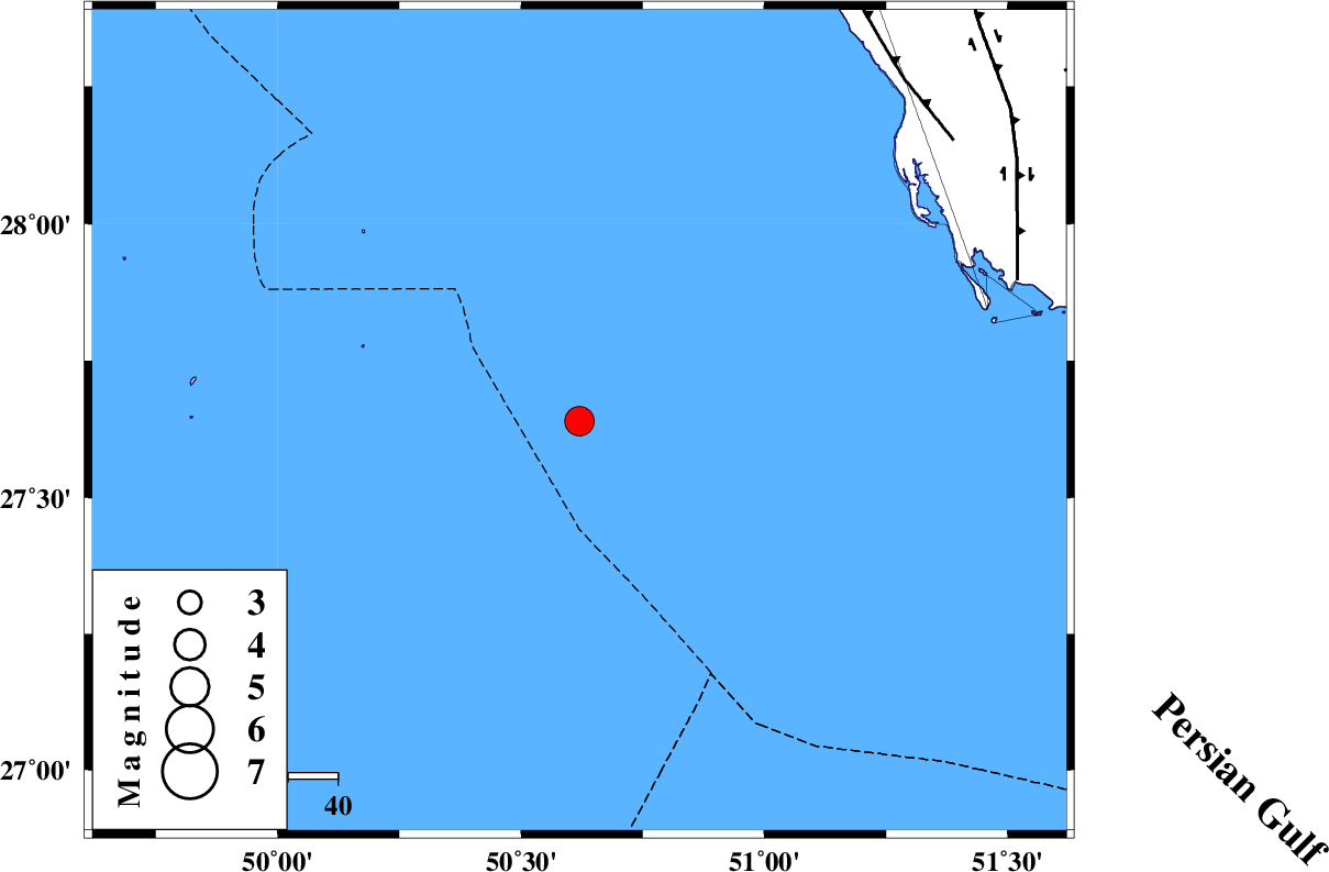
| Location | Lat:27.64 Lon: 50.62 |
| Region | Persian Gulf |
Nearest Cities |
|
| 94 km South West of Ziyarat, Bushehr Province | |
| 96 km South West of Bardkhun, Bushehr Province | |
| 106 km South West of Abkesh, Bushehr Province | |
| 117 km South West of Kaki, Bushehr Province | |
| 120 km South West of Baduleh, Bushehr Province | |
| Depth | 15 km |
| Agency | |
Faults within 150 km: |
|
| BORAZJAN_F (Length: 168 km) , Distance to epicenter: 93 km | |
| ZFF2 (Length: 84 km) , Distance to epicenter: 95 km | |
| MFF3 (Length: 292 km) , Distance to epicenter: 121 km | |
| Number of Phases | 5 |
| RMS | 0.6 |
| Number of Stations | 4 |
| Error in Latitude | >46.2 km |
| Error in Longitude | 47.7 km |
| Error in Depth | 33 km |
Download waveform in seisan format
to download seisan software Click here
to access information about IIEES stations Click here
Amplitude | ||||||||
| UID | Agency | Station | Component | Amplitude | Period | Arrival Time | Proccessing Time | Signal Clip |
| 88874 | IIEES | GHIR | E | 1113.5 | 0.47 | 2013-04-10 00:37:05 | 2013-04-21 06:59:00 | n |
Phase | ||||||||||||
| Agency | Station | Component | Phase Type | Phase Quality | First Motion | Observed Arrival Time | Time Residual | Loc. Flag | Input Weight | Distance | Azimuth | |
| IIEES | GHIR | Z | Pg | E | 2013-04-10 00:36:40 | -0.45 | y | 244 | 72 | |||
| IIEES | GHIR | E | Sg | E | 2013-04-10 00:36:58 | y | ||||||
| IIEES | KHMZ | Z | Pn | E | 2013-04-10 00:37:39 | y | ||||||
| IIEES | KRBR | Z | Pn | E | 2013-04-10 00:37:31 | y | 654 | 65 | ||||
| IIEES | AHRM | Z | Pg | E | 2013-04-10 00:36:25 | y | 152 | 26 | ||||