
Magnitude |
4 |
| Date & Time (UTC) | 2013-04-23 20:52:50.8 |
| Date & Time (Local) | 1392/2/4 01:22:50.8 |
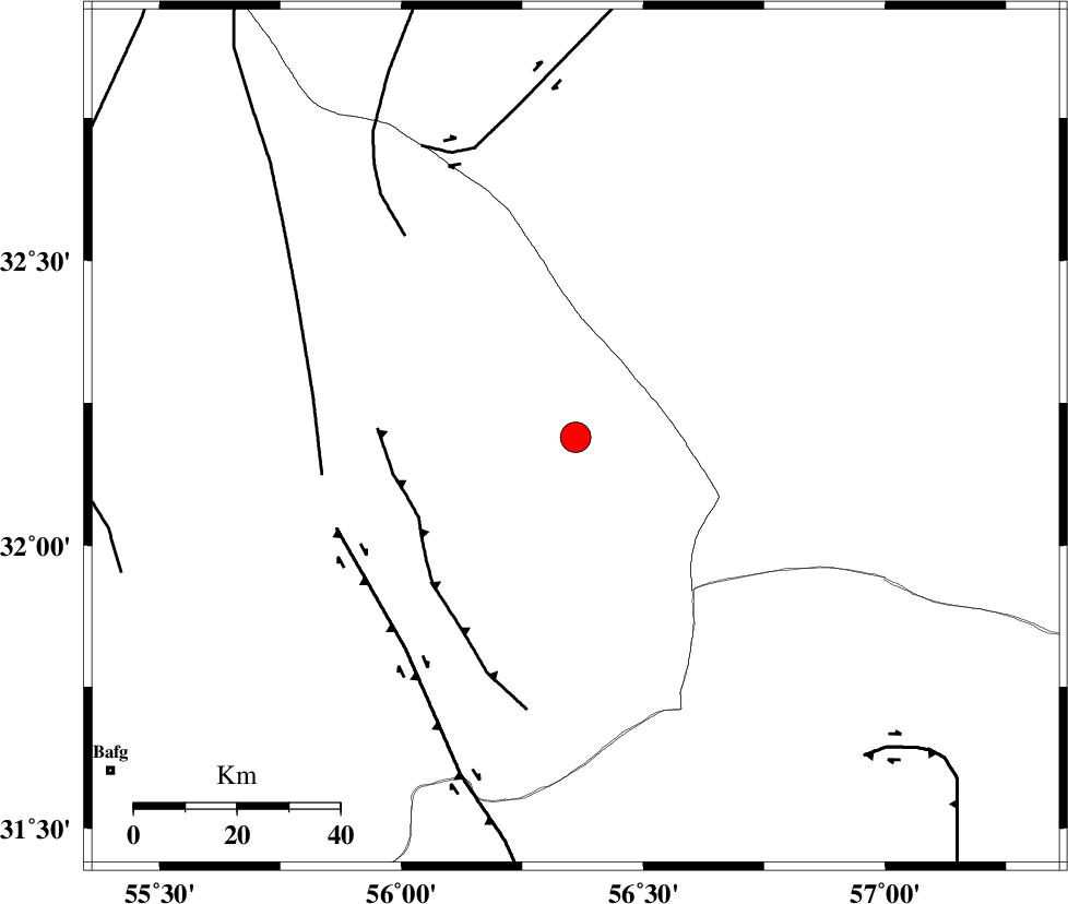
| Location | Lat:32.19 Lon: 56.36 |
| Region | Yazd Province, 111 km North-West of Ravar |
Nearest Cities |
|
| 47 km North East of Behabad, Yazd Province | |
| 57 km North East of Benestan, Yazd Province | |
| 59 km North East of Asfih, Yazd Province | |
| 74 km North East of Kushk, Yazd Province | |
| 86 km North of Kuhbanan, Kerman Province | |
| Depth | 14 km |
| Agency | |
Faults within 150 km: |
|
| JAFARABAD_F (Length: 60 km) , Distance to epicenter: 34 km | |
| SARBALA_F (Length: 92 km) , Distance to epicenter: 50 km | |
| KUHBANAN_F (Length: 189 km) , Distance to epicenter: 50 km | |
| Number of Phases | 4 |
| RMS | 0.1 |
| Number of Stations | 5 |
| Error in Latitude | >6.5 km |
| Error in Longitude | 2.3 km |
| Error in Depth | 6 km |
Download waveform in seisan format
to download seisan software Click here
to access information about IIEES stations Click here
Amplitude | ||||||||
| UID | Agency | Station | Component | Amplitude | Period | Arrival Time | Proccessing Time | Signal Clip |
| 88919 | IIEES | YZKH | E | 913.4 | 0.48 | 2013-04-23 20:53:45 | 2013-04-23 10:14:00 | n |
| 88920 | IIEES | KRBR | E | 945.3 | 0.28 | 2013-04-23 20:54:38 | 2013-04-23 10:14:00 | n |
| 88921 | IIEES | GHIR | N | 178.8 | 0.32 | 2013-04-23 20:54:17 | 2013-04-23 10:14:00 | n |
Phase | ||||||||||||
| Agency | Station | Component | Phase Type | Phase Quality | First Motion | Observed Arrival Time | Time Residual | Loc. Flag | Input Weight | Distance | Azimuth | |
| IIEES | YZKH | Z | Pg | E | 2013-04-23 20:53:18 | -0.16 | y | 168 | 278 | |||
| IIEES | YZKH | N | S | E | 2013-04-23 20:53:38 | 0.12 | y | 168 | 278 | |||
| IIEES | TABS | Z | Pg | E | 2013-04-23 20:53:19 | -0.03 | y | 176 | 23 | |||
| IIEES | SHRT | Z | Pn | E | 2013-04-23 20:53:48 | 0.09 | y | 401 | 65 | |||