
Magnitude |
2 |
| Date & Time (UTC) | 2013-04-24 04:48:06.8 |
| Date & Time (Local) | 1392/2/4 09:18:06.8 |
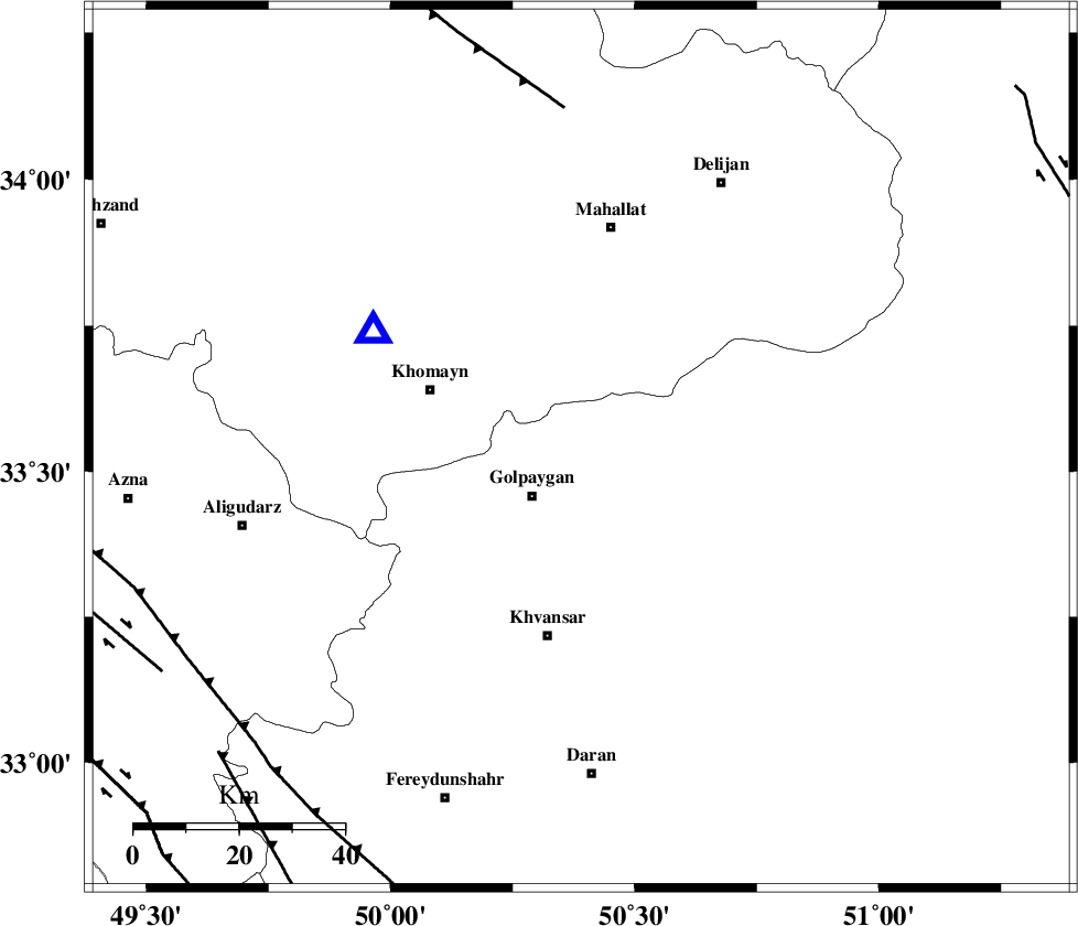
| Location | Lat:33.54 Lon: 50.39 |
| Region | Esfahan Province, 13 km Golpayegan |
Nearest Cities |
|
| 4 km North of Saeedabad, Esfahan Province | |
| 8 km North of Konjedkhan, Esfahan Province | |
| 8 km North of Gogad, Esfahan Province | |
| 9 km North of Nivan nar, Esfahan Province | |
| 13 km North of Golpayegan, Esfahan Province | |
| Depth | 18 km |
| Agency | |
Faults within 150 km: |
|
| TAFRESH_F (Length: 117 km) , Distance to epicenter: 65 km | |
| MAIN_ZAGROS_R_F (Length: 1106 km) , Distance to epicenter: 84 km | |
| ARDAL_F (Length: 170 km) , Distance to epicenter: 90 km | |
| Number of Phases | 4 |
| RMS | 0 |
| Number of Stations | 3 |
| Error in Latitude | >6.7 km |
| Error in Longitude | 4.4 km |
| Error in Depth | 18.3 km |
Download waveform in seisan format
to download seisan software Click here
to access information about IIEES stations Click here
Amplitude | ||||||||
| UID | Agency | Station | Component | Amplitude | Period | Arrival Time | Proccessing Time | Signal Clip |
| 88937 | IIEES | KHMZ | N | 116.2 | 0.12 | 2013-04-24 04:48:22 | 2013-04-24 07:21:00 | n |
| 88938 | IIEES | KHMZ | E | 154.6 | 0.07 | 2013-04-24 04:48:22 | 2013-04-24 07:21:00 | n |
Phase | ||||||||||||
| Agency | Station | Component | Phase Type | Phase Quality | First Motion | Observed Arrival Time | Time Residual | Loc. Flag | Input Weight | Distance | Azimuth | |
| IIEES | KHMZ | Z | Pg | E | 2013-04-24 04:48:15 | -0.03 | y | 45.3 | 299 | |||
| IIEES | KHMZ | E | Sg | E | 2013-04-24 04:48:21 | 0.05 | y | 45.3 | 299 | |||
| IIEES | ASAO | Z | Pg | E | 2013-04-24 04:48:26 | -0.07 | y | 117 | 343 | |||
| IIEES | GHVR | Z | Pg | E | 2013-04-24 04:48:28 | 0.05 | y | 131 | 37 | |||