
Magnitude |
3.8 |
| Date & Time (UTC) | 2013-04-25 22:56:32.3 |
| Date & Time (Local) | 1392/2/6 03:26:32.3 |
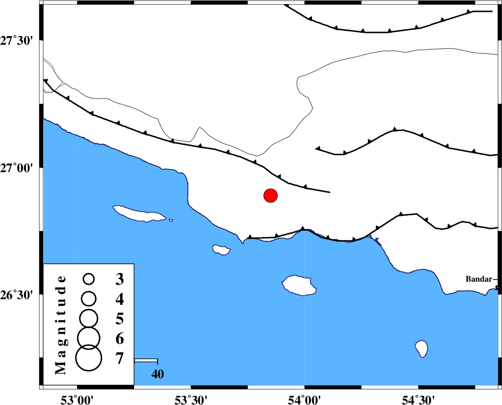
| Location | Lat:26.89 Lon: 53.85 |
| Region | Hormozgan Province, 61 km South-West of Bastak |
Nearest Cities |
|
| 33 km South East of Ahl, Fars Province | |
| 44 km South East of Ashkenan, Fars Province | |
| 45 km South West of Jenah, Hormozgan Province | |
| 61 km South West of Bastak, Hormozgan Province | |
| 68 km South East of Beyram, Fars Province | |
| Depth | 42 km |
| Agency | |
Faults within 150 km: |
|
| MFF3 (Length: 292 km) , Distance to epicenter: 9 km | |
| ZFF1 (Length: 165 km) , Distance to epicenter: 18 km | |
| MFF1 (Length: 180 km) , Distance to epicenter: 28 km | |
| Number of Phases | 5 |
| RMS | 0 |
| Number of Stations | 4 |
| Error in Latitude | >6.5 km |
| Error in Longitude | 11.1 km |
| Error in Depth | 7.7 km |
Download waveform in seisan format
to download seisan software Click here
to access information about IIEES stations Click here
Amplitude | ||||||||
| UID | Agency | Station | Component | Amplitude | Period | Arrival Time | Proccessing Time | Signal Clip |
| 88963 | IIEES | GHIR | N | 1129 | 0.64 | 2013-04-25 22:57:25 | 2013-04-26 12:22:00 | n |
| 88964 | IIEES | GHIR | E | 1113 | 0.56 | 2013-04-25 22:57:27 | 2013-04-26 12:22:00 | n |
Phase | ||||||||||||
| Agency | Station | Component | Phase Type | Phase Quality | First Motion | Observed Arrival Time | Time Residual | Loc. Flag | Input Weight | Distance | Azimuth | |
| IIEES | GHIR | Z | Pg | E | 2013-04-25 22:57:01 | 0 | y | 176 | 331 | |||
| IIEES | GHIR | N | Sg | E | 2013-04-25 22:57:22 | 0 | y | 176 | 331 | |||
| IIEES | YZKH | Z | Pn | E | 2013-04-25 22:57:53 | -0.01 | y | 614 | 7 | |||
| IIEES | TABS | Z | Pn | E | 2013-04-25 22:58:18 | 0.01 | y | 812 | 22 | |||
| IIEES | GHVR | Z | Pn | E | 2013-04-25 22:58:26 | 0.01 | y | 878 | 344 | |||