
Magnitude |
3 |
| Date & Time (UTC) | 2013-05-03 08:57:36.6 |
| Date & Time (Local) | 1392/2/13 13:27:36.6 |
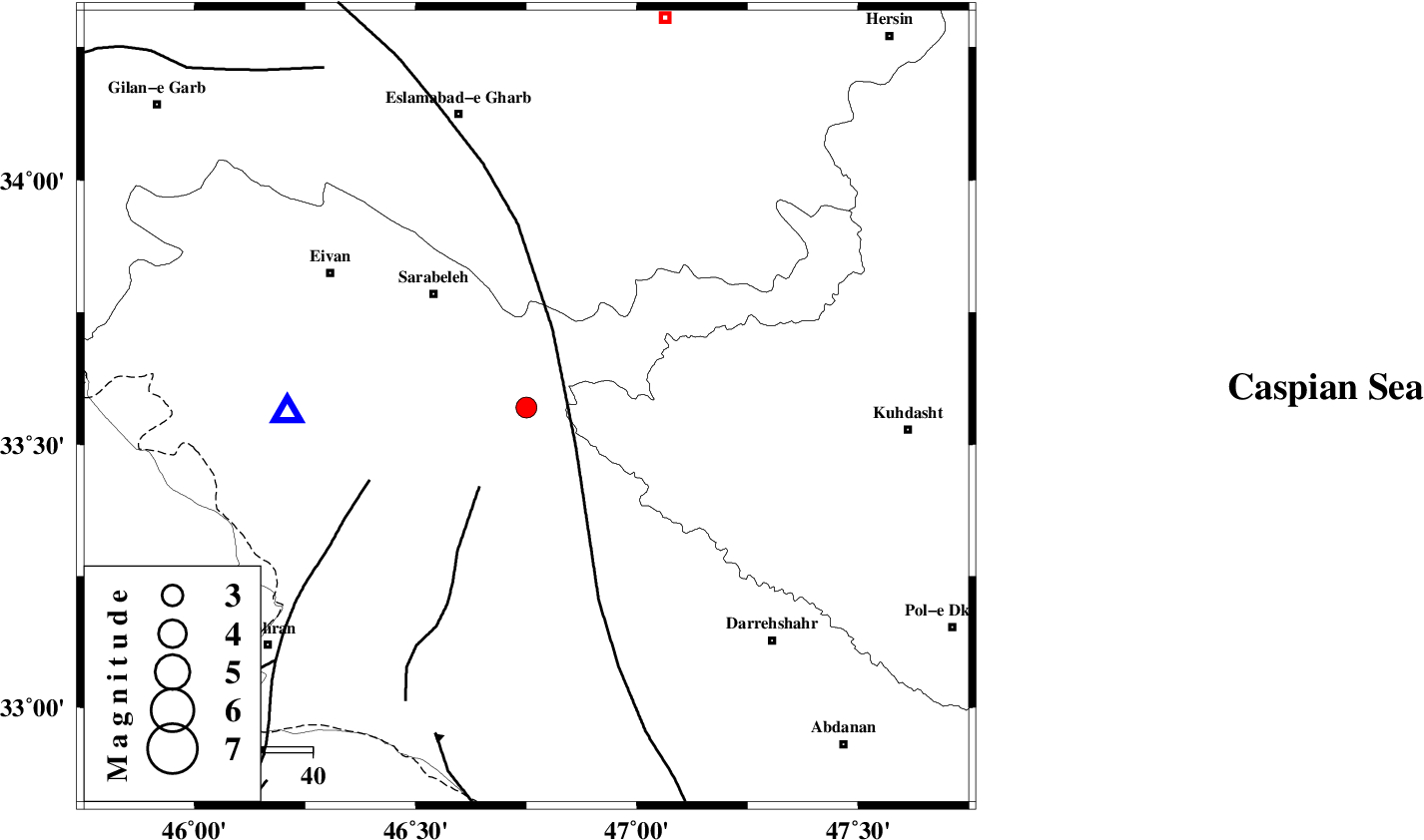
| Location | Lat:33.57 Lon: 46.75 |
| Region | Ilam Province, 30 km East of Ilam |
Nearest Cities |
|
| 10 km of Sartang-e malehmaran, Ilam Province | |
| 12 km of Belaveh tare-e sofla, Ilam Province | |
| 30 km North East of Mehr, Ilam Province | |
| 31 km East of Ilam, Ilam Province | |
| 31 km South East of Sar Ableh, Ilam Province | |
| Depth | 14 km |
| Agency | |
Faults within 150 km: |
|
| MFF7 (Length: 99 km) , Distance to epicenter: 37 km | |
| MFF6 (Length: 144 km) , Distance to epicenter: 53 km | |
| ZFF4 (Length: 128 km) , Distance to epicenter: 56 km | |
| Number of Phases | 5 |
| RMS | 0.1 |
| Number of Stations | 4 |
| Error in Latitude | >26.7 km |
| Error in Longitude | 43.6 km |
| Error in Depth | 55.5 km |
Download waveform in seisan format
to download seisan software Click here
to access information about IIEES stations Click here
Amplitude | ||||||||
| UID | Agency | Station | Component | Amplitude | Period | Arrival Time | Proccessing Time | Signal Clip |
| 89064 | IIEES | GHVR | N | 20.5 | 0.72 | 2013-05-03 09:00:07 | 2013-05-03 10:27:00 | n |
Phase | ||||||||||||
| Agency | Station | Component | Phase Type | Phase Quality | First Motion | Observed Arrival Time | Time Residual | Loc. Flag | Input Weight | Distance | Azimuth | |
| IIEES | KHMZ | Z | Pn | E | 2013-05-03 08:58:21 | -0.2 | y | 299 | 85 | |||
| IIEES | KHMZ | E | Sg | E | 2013-05-03 08:59:00 | -0.01 | y | 299 | 85 | |||
| IIEES | ASAO | Z | Pn | E | 2013-05-03 08:58:24 | 0.13 | y | 322 | 69 | |||
| IIEES | ZNJK | Z | Pn | E | 2013-05-03 08:58:32 | -0.08 | y | 387 | 27 | |||
| IIEES | GHVR | Z | Pn | E | 2013-05-03 08:58:37 | 0.2 | y | 428 | 75 | |||