
Magnitude |
3.8 |
| Date & Time (UTC) | 2013-06-18 21:50:56.8 |
| Date & Time (Local) | 1392/3/29 02:20:56.8 |
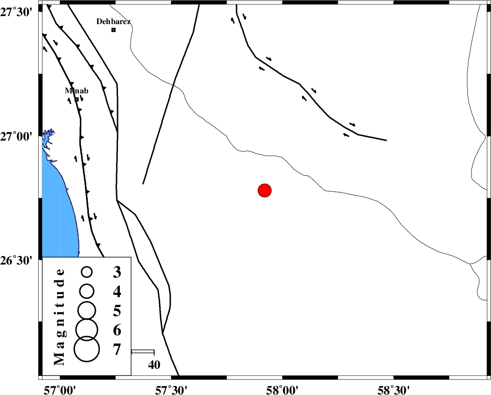
| Location | Lat:26.78 Lon: 57.92 |
| Region | Hormozgan Province, 82 km South-East of Manujan |
Nearest Cities |
|
| 20 km North of Angahran, Hormozgan Province | |
| 37 km South of Keshmiran, Kerman Province | |
| 38 km North East of Darpahn, Hormozgan Province | |
| 49 km East of Sanadrak, Hormozgan Province | |
| 72 km South East of Koryan, Hormozgan Province | |
| Depth | 15 km |
| Agency | |
Faults within 150 km: |
|
| JIROFT_F (Length: 144 km) , Distance to epicenter: 44 km | |
| SABZEVARAN_F (Length: 190 km) , Distance to epicenter: 54 km | |
| ZENDAN_MINAB_F_Z2 (Length: 63 km) , Distance to epicenter: 56 km | |
| Number of Phases | 6 |
| RMS | 0.5 |
| Number of Stations | 6 |
| Error in Latitude | >6.9 km |
| Error in Longitude | 3.3 km |
| Error in Depth | 0 km |
Download waveform in seisan format
to download seisan software Click here
to access information about IIEES stations Click here
Amplitude | ||||||||
| UID | Agency | Station | Component | Amplitude | Period | Arrival Time | Proccessing Time | Signal Clip |
| 89690 | IIEES | CHBR | E | 446.8 | 0.64 | 2013-06-18 21:52:32 | 2013-06-18 11:18:00 | n |
Phase | ||||||||||||
| Agency | Station | Component | Phase Type | Phase Quality | First Motion | Observed Arrival Time | Time Residual | Loc. Flag | Input Weight | Distance | Azimuth | |
| IIEES | CHBR | Z | Pn | E | 2013-06-18 21:51:39 | -0.11 | y | 288 | 116 | |||
| IIEES | KRBR | Z | Pn | E | 2013-06-18 21:51:50 | -0.85 | y | 373 | 343 | |||
| IIEES | ZHSF | Z | Pn | E | 2013-06-18 21:51:57 | 0.17 | y | 421 | 41 | |||
| IIEES | GHIR | Z | Pn | E | 2013-06-18 21:52:08 | 0.3 | y | 515 | 290 | |||
| IIEES | BSRN | Z | Pn | E | 2013-06-18 21:52:17 | 0.55 | y | 587 | 11 | |||
| IIEES | YZKH | Z | Pn | E | 2013-06-18 21:52:32 | 0.39 | y | 700 | 333 | |||