
Magnitude |
3.8 |
| Date & Time (UTC) | 2013-06-19 20:05:24.8 |
| Date & Time (Local) | 1392/3/30 00:35:24.8 |
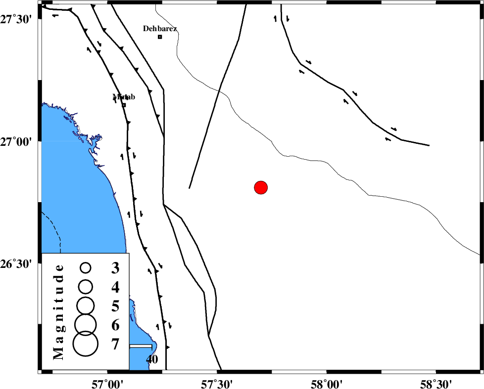
| Location | Lat:26.81 Lon: 57.7 |
| Region | Hormozgan Province, 70 km South-East of Manujan |
Nearest Cities |
|
| 22 km North East of Darpahn, Hormozgan Province | |
| 27 km East of Sanadrak, Hormozgan Province | |
| 31 km North West of Angahran, Hormozgan Province | |
| 40 km South West of Keshmiran, Kerman Province | |
| 51 km South East of Koryan, Hormozgan Province | |
| Depth | 18 km |
| Agency | |
Faults within 150 km: |
|
| SABZEVARAN_F (Length: 190 km) , Distance to epicenter: 32 km | |
| ZENDAN_MINAB_F_Z2 (Length: 63 km) , Distance to epicenter: 38 km | |
| ZENDAN_MINAB_F_Z1 (Length: 183 km) , Distance to epicenter: 44 km | |
| Number of Phases | 8 |
| RMS | 0.1 |
| Number of Stations | 8 |
| Error in Latitude | >3 km |
| Error in Longitude | 2.8 km |
| Error in Depth | 8.3 km |
Download waveform in seisan format
to download seisan software Click here
to access information about IIEES stations Click here
Amplitude | ||||||||
| UID | Agency | Station | Component | Amplitude | Period | Arrival Time | Proccessing Time | Signal Clip |
| 89694 | IIEES | BNDS | N | 1181.9 | 0.64 | 2013-06-19 20:05:57 | 2013-06-19 09:48:00 | n |
Phase | ||||||||||||
| Agency | Station | Component | Phase Type | Phase Quality | First Motion | Observed Arrival Time | Time Residual | Loc. Flag | Input Weight | Distance | Azimuth | |
| IIEES | CHBR | Z | Pn | E | 2013-06-19 20:06:10 | -0.03 | y | 309 | 115 | |||
| IIEES | ZHSF | Z | Pn | E | 2013-06-19 20:06:26 | 0.06 | y | 433 | 44 | |||
| IIEES | GHIR | Z | P | E | 2013-06-19 20:06:33 | 0.17 | y | 493 | 290 | |||
| IIEES | BSRN | Z | Pn | E | 2013-06-19 20:06:45 | 0.05 | y | 588 | 13 | |||
| IIEES | BSRN | N | Sg | E | 2013-06-19 20:08:08 | 0.02 | y | 588 | 13 | |||
| IIEES | YZKH | Z | Pn | E | 2013-06-19 20:06:57 | -0.37 | y | 688 | 335 | |||
| IIEES | TABS | Z | P | E | 2013-06-19 20:07:06 | -0.06 | y | 760 | 356 | |||
| IIEES | SHRT | Z | P | E | 2013-06-19 20:07:11 | 0.05 | y | 798 | 18 | |||