
Magnitude |
2.9 |
| Date & Time (UTC) | 2013-07-01 18:53:26.4 |
| Date & Time (Local) | 1392/4/10 23:23:26.4 |
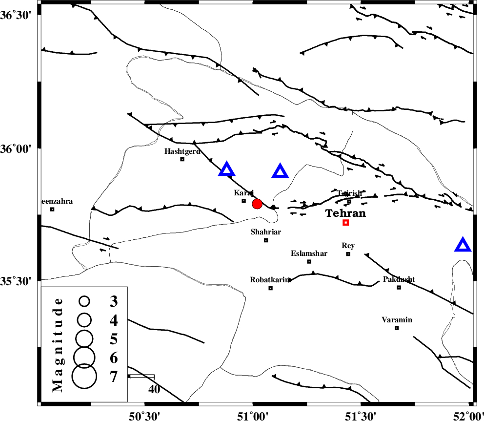
| Location | Lat:35.79 Lon: 51.02 |
| Region | Tehran Province, 6 km Karaj |
Nearest Cities |
|
| 6 km of Karaj, Tehran Province | |
| 15 km North of Malard, Tehran Province | |
| 16 km North of Shahriyar, Tehran Province | |
| 17 km South of Barghan, Tehran Province | |
| 21 km North of Joqin, Tehran Province | |
| Depth | 14 km |
| Agency | |
Faults within 150 km: |
|
| N_TEHRAN_F4 (Length: 115 km) , Distance to epicenter: 5 km | |
| ESHTEHARD_F (Length: 69 km) , Distance to epicenter: 12 km | |
| MOSHA_F (Length: 234 km) , Distance to epicenter: 30 km | |
| Number of Phases | 5 |
| RMS | 0.4 |
| Number of Stations | 4 |
| Error in Latitude | >5.4 km |
| Error in Longitude | 4.7 km |
| Error in Depth | 8.7 km |
Download waveform in seisan format
to download seisan software Click here
to access information about IIEES stations Click here
Amplitude | ||||||||
| UID | Agency | Station | Component | Amplitude | Period | Arrival Time | Proccessing Time | Signal Clip |
| 89798 | IIEES | CHTH | E | 4874.8 | 0.2 | 2013-07-01 18:53:33 | 2013-07-01 08:37:00 | n |
| 89799 | IIEES | ZNJK | E | 47.8 | 0.16 | 2013-07-01 18:54:32 | 2013-07-01 08:37:00 | n |
Phase | ||||||||||||
| Agency | Station | Component | Phase Type | Phase Quality | First Motion | Observed Arrival Time | Time Residual | Loc. Flag | Input Weight | Distance | Azimuth | |
| IIEES | CHTH | Z | Pg | E | 2013-07-01 18:53:30 | -0.1 | y | 16.5 | 34 | |||
| IIEES | DAMV | Z | Pg | E | 2013-07-01 18:53:41 | -0.14 | y | 87.5 | 101 | |||
| IIEES | ASAO | Z | Pg | E | 2013-07-01 18:53:53 | -0.11 | y | 165 | 214 | |||
| IIEES | ZNJK | Z | Pn | E | 2013-07-01 18:54:03 | 0.78 | y | 232 | 296 | |||
| IIEES | ZNJK | E | Sg | E | 2013-07-01 18:54:31 | -0.43 | y | 232 | 296 | |||