
Magnitude |
3.6 |
| Date & Time (UTC) | 2013-07-30 22:37:43.4 |
| Date & Time (Local) | 1392/5/9 03:07:43.4 |
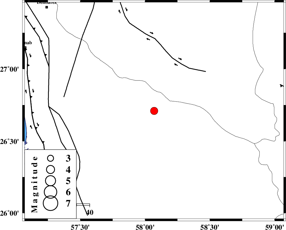
| Location | Lat:26.71 Lon: 58.07 |
| Region | Hormozgan Province, 97 km South-East of Manujan |
Nearest Cities |
|
| 21 km North East of Angahran, Hormozgan Province | |
| 47 km South East of Keshmiran, Kerman Province | |
| 50 km North East of Darpahn, Hormozgan Province | |
| 65 km South East of Sanadrak, Hormozgan Province | |
| 73 km South West of Ramashk, Kerman Province | |
| Depth | 15 km |
| Agency | |
Faults within 150 km: |
|
| JIROFT_F (Length: 144 km) , Distance to epicenter: 42 km | |
| ZENDAN_MINAB_F_Z2 (Length: 63 km) , Distance to epicenter: 67 km | |
| SABZEVARAN_F (Length: 190 km) , Distance to epicenter: 70 km | |
| Number of Phases | 4 |
| RMS | 0.1 |
| Number of Stations | 5 |
| Error in Latitude | >3.6 km |
| Error in Longitude | 1.7 km |
| Error in Depth | 0 km |
Download waveform in seisan format
to download seisan software Click here
to access information about IIEES stations Click here
Amplitude | ||||||||
| UID | Agency | Station | Component | Amplitude | Period | Arrival Time | Proccessing Time | Signal Clip |
| 90051 | IIEES | BNDS | E | 593.4 | 0.4 | 2013-07-30 22:38:38 | 2013-07-31 12:06:00 | n |
| 90052 | IIEES | KRBR | N | 138.1 | 0.76 | 2013-07-30 22:39:34 | 2013-07-31 12:06:00 | n |
| 90053 | IIEES | KRBR | E | 105.1 | 0.52 | 2013-07-30 22:39:41 | 2013-07-31 12:06:00 | n |
Phase | ||||||||||||
| Agency | Station | Component | Phase Type | Phase Quality | First Motion | Observed Arrival Time | Time Residual | Loc. Flag | Input Weight | Distance | Azimuth | |
| IIEES | CHBR | Z | Pn | E | 2013-07-30 22:38:24 | -0.01 | y | 271 | 116 | |||
| IIEES | KRBR | Z | Pn | E | 2013-07-30 22:38:39 | 0.05 | y | 385 | 341 | |||
| IIEES | ZHSF | Z | P | E | 2013-07-30 22:38:43 | 0.08 | y | 418 | 39 | |||
| IIEES | BSRN | Z | Pn | E | 2013-07-30 22:39:04 | -0.16 | y | 592 | 10 | |||