
Magnitude |
2.8 |
| Date & Time (UTC) | 2013-08-08 15:41:25.3 |
| Date & Time (Local) | 1392/5/17 20:11:25.3 |
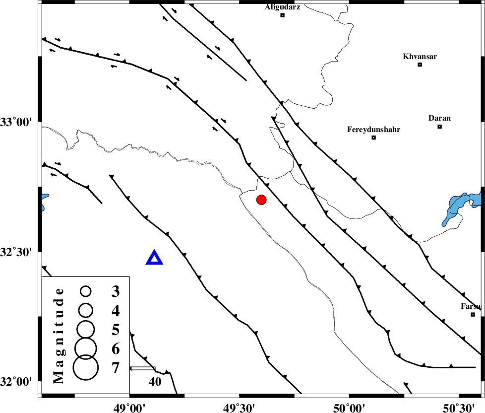
| Location | Lat:32.7 Lon: 49.6 |
| Region | Chaharmahal Bakhtiari Province, 55 km North-West of Chelgard |
Nearest Cities |
|
| 25 km North West of Durak, Chaharmahal Bakhtiari Province | |
| 26 km South East of Parchal, Lorestan Province | |
| 29 km South West of Masir, Esfahan Province | |
| 46 km North of Paabshalal, Khoozestan Province | |
| 48 km South West of Sibak, Esfahan Province | |
| Depth | 15 km |
| Agency | |
Faults within 150 km: |
|
| ZARDKUH_F (Length: 139 km) , Distance to epicenter: 15 km | |
| HZF4 (Length: 492 km) , Distance to epicenter: 17 km | |
| ARDAL_F (Length: 170 km) , Distance to epicenter: 23 km | |
| Number of Phases | 3 |
| RMS | 0 |
| Number of Stations | 3 |
| Error in Latitude | >2.1 km |
| Error in Longitude | 2.5 km |
| Error in Depth | 0 km |
Download waveform in seisan format
to download seisan software Click here
to access information about IIEES stations Click here
Amplitude | ||||||||
| UID | Agency | Station | Component | Amplitude | Period | Arrival Time | Proccessing Time | Signal Clip |
| 90160 | IIEES | SHGR | N | 275.9 | 0.24 | 2013-08-08 15:41:59 | 2013-08-08 05:00:00 | n |
| 90161 | IIEES | SHGR | E | 269.5 | 0.52 | 2013-08-08 15:42:02 | 2013-08-08 05:00:00 | n |
Phase | ||||||||||||
| Agency | Station | Component | Phase Type | Phase Quality | First Motion | Observed Arrival Time | Time Residual | Loc. Flag | Input Weight | Distance | Azimuth | |
| IIEES | SHGR | Z | Pg | E | 2013-08-08 15:41:42 | 0 | y | 99.7 | 229 | |||
| IIEES | KHMZ | Z | Pg | E | 2013-08-08 15:41:45 | 0 | y | 120 | 16 | |||
| IIEES | NASN | Z | Pn | E | 2013-08-08 15:42:10 | 0 | y | 301 | 87 | |||