
Magnitude |
3.6 |
| Date & Time (UTC) | 2013-08-12 15:00:08.8 |
| Date & Time (Local) | 1392/5/21 19:30:08.8 |
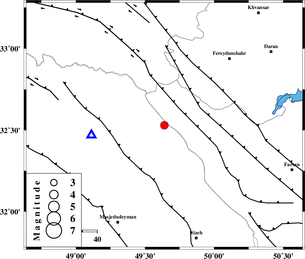
| Location | Lat:32.53 Lon: 49.64 |
| Region | Khoozestan Province, 46 km West of Chelgard |
Nearest Cities |
|
| 28 km North of Paabshalal, Khoozestan Province | |
| 28 km South West of Durak, Chaharmahal Bakhtiari Province | |
| 41 km North East of Qale-yekhvaju, Khoozestan Province | |
| 41 km South West of Masir, Esfahan Province | |
| 45 km South East of Parchal, Lorestan Province | |
| Depth | 14 km |
| Agency | |
Faults within 150 km: |
|
| ZARDKUH_F (Length: 139 km) , Distance to epicenter: 15 km | |
| ARDAL_F (Length: 170 km) , Distance to epicenter: 27 km | |
| MFF2 (Length: 205 km) , Distance to epicenter: 34 km | |
| Number of Phases | 4 |
| RMS | 0 |
| Number of Stations | 4 |
| Error in Latitude | >2.4 km |
| Error in Longitude | 3.6 km |
| Error in Depth | 4.9 km |
Download waveform in seisan format
to download seisan software Click here
to access information about IIEES stations Click here
Amplitude | ||||||||
| UID | Agency | Station | Component | Amplitude | Period | Arrival Time | Proccessing Time | Signal Clip |
| 90202 | IIEES | SHGR | N | 5979.1 | 0.4 | 2013-08-12 15:00:38 | 2013-08-12 04:21:00 | n |
| 90203 | IIEES | SHGR | E | 4387.4 | 0.6 | 2013-08-12 15:00:40 | 2013-08-12 04:21:00 | n |
| 90204 | IIEES | KHMZ | E | 608.8 | 0.48 | 2013-08-12 15:00:52 | 2013-08-12 04:21:00 | n |
| 90205 | IIEES | KHMZ | N | 805.4 | 0.52 | 2013-08-12 15:00:55 | 2013-08-12 04:21:00 | n |
| 90206 | IIEES | ASAO | E | 330.1 | 0.6 | 2013-08-12 15:01:24 | 2013-08-12 04:21:00 | n |
Phase | ||||||||||||
| Agency | Station | Component | Phase Type | Phase Quality | First Motion | Observed Arrival Time | Time Residual | Loc. Flag | Input Weight | Distance | Azimuth | |
| IIEES | SHGR | Z | Pg | E | 2013-08-12 15:00:24 | 0.01 | y | 91.1 | 240 | |||
| IIEES | KHMZ | Z | Pg | E | 2013-08-12 15:00:31 | -0.05 | y | 138 | 13 | |||
| IIEES | ASAO | Z | Pn | E | 2013-08-12 15:00:45 | 0.08 | y | 227 | 9 | |||
| IIEES | NASN | Z | Pn | E | 2013-08-12 15:00:53 | -0.03 | y | 299 | 83 | |||