
Magnitude |
3.4 |
| Date & Time (UTC) | 2013-08-13 04:20:38.8 |
| Date & Time (Local) | 1392/5/22 08:50:38.8 |
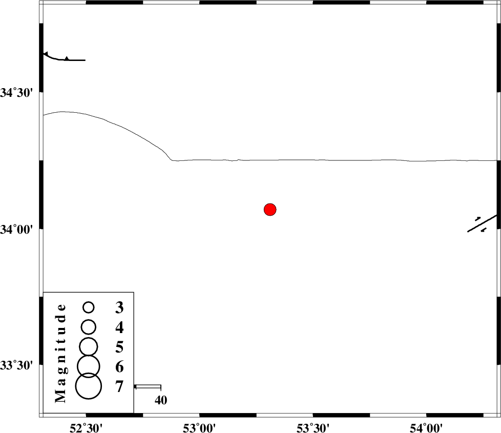
| Location | Lat:34.07 Lon: 53.31 |
| Region | Esfahan Province, 136 km North-East of Nain |
Nearest Cities |
|
| 47 km North of Maedan, Esfahan Province | |
| 91 km North East of Jahanabad, Esfahan Province | |
| 92 km North West of Anarak, Esfahan Province | |
| 94 km North East of Shahrab, Esfahan Province | |
| 102 km North West of Jondaq, Esfahan Province | |
| Depth | 14 km |
| Agency | |
Faults within 150 km: |
|
| DORUNEH_F (Length: 713 km) , Distance to epicenter: 81 km | |
| KUH_E_GUGERD_F (Length: 73 km) , Distance to epicenter: 95 km | |
| SIAHKUH_F (Length: 154 km) , Distance to epicenter: 95 km | |
| Number of Phases | 10 |
| RMS | 0.2 |
| Number of Stations | 9 |
| Error in Latitude | >4 km |
| Error in Longitude | 3.8 km |
| Error in Depth | 6.8 km |
Download waveform in seisan format
to download seisan software Click here
to access information about IIEES stations Click here
Amplitude | ||||||||
| UID | Agency | Station | Component | Amplitude | Period | Arrival Time | Proccessing Time | Signal Clip |
| 90207 | IIEES | GHVR | E | 498.4 | 0.56 | 2013-08-13 04:21:36 | 2013-08-13 05:50:00 | n |
| 90208 | IIEES | GHVR | N | 366.3 | 0.38 | 2013-08-13 04:21:36 | 2013-08-13 05:50:00 | n |
| 90209 | IIEES | THKV | N | 134.2 | 0.37 | 2013-08-13 04:22:01 | 2013-08-13 05:50:00 | n |
Phase | ||||||||||||
| Agency | Station | Component | Phase Type | Phase Quality | First Motion | Observed Arrival Time | Time Residual | Loc. Flag | Input Weight | Distance | Azimuth | |
| IIEES | NASN | Z | Pg | E | 2013-08-13 04:21:03 | -0.14 | y | 149 | 199 | |||
| IIEES | GHVR | Z | Pg | E | 2013-08-13 04:21:10 | -0.32 | y | 196 | 284 | |||
| IIEES | YZKH | Z | Pn | E | 2013-08-13 04:21:14 | 0.14 | y | 221 | 147 | |||
| IIEES | CHTH | Z | Pn | E | 2013-08-13 04:21:22 | -0.08 | y | 285 | 316 | |||
| IIEES | THKV | Z | Pn | E | 2013-08-13 04:21:24 | -0.05 | y | 302 | 313 | |||
| IIEES | ASAO | Z | Pn | E | 2013-08-13 04:21:24 | 0.02 | y | 307 | 281 | |||
| IIEES | ASAO | E | Sg | E | 2013-08-13 04:22:05 | 0.48 | y | 307 | 281 | |||
| IIEES | KHMZ | Z | Pn | E | 2013-08-13 04:21:25 | -0.2 | y | 312 | 264 | |||
| IIEES | TABS | Z | Pn | E | 2013-08-13 04:21:30 | -0.12 | y | 355 | 97 | |||
| IIEES | BSRN | Z | Pn | E | 2013-08-13 04:22:00 | 0.47 | y | 591 | 112 | |||