
Magnitude |
3 |
| Date & Time (UTC) | 2013-08-18 02:43:01.7 |
| Date & Time (Local) | 1392/5/27 07:13:01.7 |
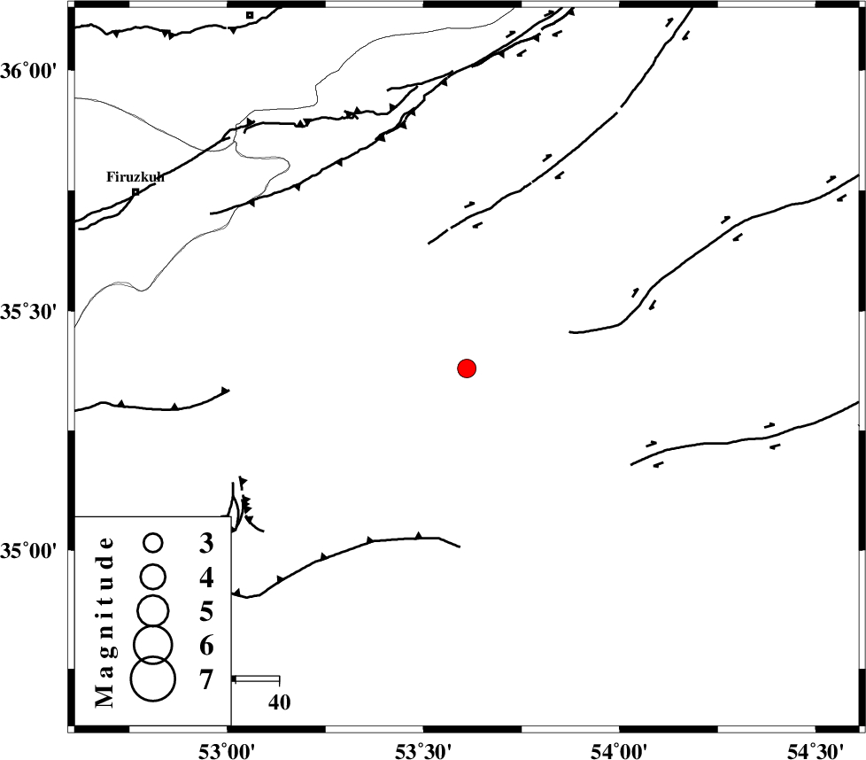
| Location | Lat:35.38 Lon: 53.61 |
| Region | Semnan Province, 28 km South-East of Semnan |
Nearest Cities |
|
| 21 km South East of Alae, Semnan Province | |
| 28 km South East of Semnan, Semnan Province | |
| 37 km East of Sorkheh, Semnan Province | |
| 44 km South East of Mehdishahr, Semnan Province | |
| 48 km East of Lasjerd, Semnan Province | |
| Depth | 26 km |
| Agency | |
Faults within 150 km: |
|
| KUH_E_GACHAB_F2 (Length: 31 km) , Distance to epicenter: 19 km | |
| KUH_E_GUGERD_F (Length: 73 km) , Distance to epicenter: 40 km | |
| ATARI_F (Length: 185 km) , Distance to epicenter: 42 km | |
| Number of Phases | 8 |
| RMS | 0.2 |
| Number of Stations | 7 |
| Error in Latitude | >3.6 km |
| Error in Longitude | 4 km |
| Error in Depth | 7.8 km |
Download waveform in seisan format
to download seisan software Click here
to access information about IIEES stations Click here
Amplitude | ||||||||
| UID | Agency | Station | Component | Amplitude | Period | Arrival Time | Proccessing Time | Signal Clip |
| 90265 | IIEES | DAMV | E | 241.5 | 0.31 | 2013-08-18 02:43:48 | 2013-08-18 04:20:00 | n |
Phase | ||||||||||||
| Agency | Station | Component | Phase Type | Phase Quality | First Motion | Observed Arrival Time | Time Residual | Loc. Flag | Input Weight | Distance | Azimuth | |
| IIEES | DAMV | Z | Pg | E | 2013-08-18 02:43:26 | 0.25 | y | 151 | 281 | |||
| IIEES | CHTH | Z | Pn | E | 2013-08-18 02:43:37 | 0.07 | y | 232 | 285 | |||
| IIEES | CHTH | E | Sg | E | 2013-08-18 02:44:06 | -0.25 | y | 232 | 285 | |||
| IIEES | GHVR | Z | Pn | E | 2013-08-18 02:43:37 | -0.22 | y | 238 | 246 | |||
| IIEES | NASN | Z | Pn | E | 2013-08-18 02:43:45 | 0.31 | y | 296 | 195 | |||
| IIEES | MRVT | Z | Pn | E | 2013-08-18 02:43:50 | -0.01 | y | 337 | 41 | |||
| IIEES | ASAO | Z | Pn | E | 2013-08-18 02:43:50 | 0.22 | y | 340 | 255 | |||
| IIEES | YZKH | Z | Pn | E | 2013-08-18 02:43:50 | -0.37 | y | 344 | 164 | |||