
Magnitude |
2.9 |
| Date & Time (UTC) | 2013-08-19 17:29:26.5 |
| Date & Time (Local) | 1392/5/28 21:59:26.5 |
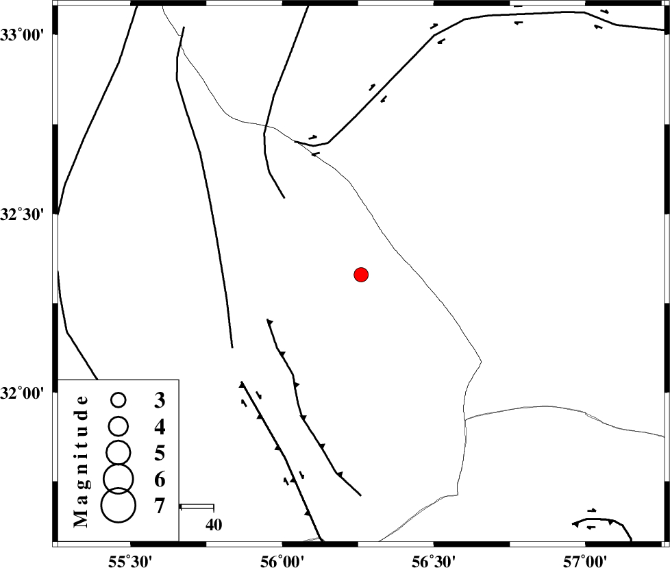
| Location | Lat:32.33 Lon: 56.26 |
| Region | Yazd Province, 114 km North-East of Bafq |
Nearest Cities |
|
| 56 km North East of Behabad, Yazd Province | |
| 68 km North East of Benestan, Yazd Province | |
| 74 km North of Asfih, Yazd Province | |
| 80 km North East of Kushk, Yazd Province | |
| 98 km North East of Basab, Yazd Province | |
| Depth | 15 km |
| Agency | |
Faults within 150 km: |
|
| JAFARABAD_F (Length: 60 km) , Distance to epicenter: 32 km | |
| NAINI_F (Length: 342 km) , Distance to epicenter: 33 km | |
| CHESHMEH_ROSTAM_ (Length: 142 km) , Distance to epicenter: 42 km | |
| Number of Phases | 3 |
| RMS | 0 |
| Number of Stations | 3 |
| Error in Latitude | >1.7 km |
| Error in Longitude | 2.1 km |
| Error in Depth | 0 km |
Download waveform in seisan format
to download seisan software Click here
to access information about IIEES stations Click here
Amplitude | ||||||||
| UID | Agency | Station | Component | Amplitude | Period | Arrival Time | Proccessing Time | Signal Clip |
| 90277 | IIEES | YZKH | N | 135.7 | 0.28 | 2013-08-19 17:30:12 | 2013-08-19 06:50:00 | n |
| 90278 | IIEES | KRBR | N | 77.5 | 0.24 | 2013-08-19 17:30:41 | 2013-08-19 06:50:00 | n |
Phase | ||||||||||||
| Agency | Station | Component | Phase Type | Phase Quality | First Motion | Observed Arrival Time | Time Residual | Loc. Flag | Input Weight | Distance | Azimuth | |
| IIEES | YZKH | Z | Pg | E | 2013-08-19 17:29:52 | 0 | y | 157 | 273 | |||
| IIEES | TABS | Z | Pg | E | 2013-08-19 17:29:54 | 0 | y | 167 | 28 | |||
| IIEES | KRBR | Z | Pn | E | 2013-08-19 17:30:07 | 0.01 | y | 264 | 169 | |||