
Magnitude |
2.5 |
| Date & Time (UTC) | 2013-08-28 18:04:53.3 |
| Date & Time (Local) | 1392/6/6 22:34:53.3 |
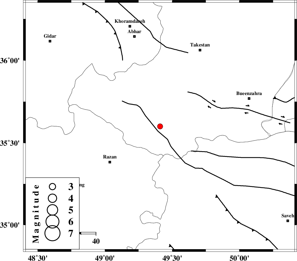
| Location | Lat:35.6 Lon: 49.41 |
| Region | Ghazvin Province, 42 km North-East of Razan |
Nearest Cities |
|
| 6 km of Kolanjin, Ghazvin Province | |
| 16 km North East of Avaj, Ghazvin Province | |
| 21 km South East of Ab-e garm, Ghazvin Province | |
| 27 km South of Hoseynabad, Ghazvin Province | |
| 35 km North East of Suzan, Hamedan Province | |
| Depth | 14 km |
| Agency | |
Faults within 150 km: |
|
| KUSHK_E_NOSRAT_F (Length: 230 km) , Distance to epicenter: 3 km | |
| S_PARANDAK_F (Length: 116 km) , Distance to epicenter: 27 km | |
| IPAK_F (Length: 80 km) , Distance to epicenter: 30 km | |
| Number of Phases | 6 |
| RMS | 0.1 |
| Number of Stations | 5 |
| Error in Latitude | >1.2 km |
| Error in Longitude | 1.8 km |
| Error in Depth | 4 km |
Download waveform in seisan format
to download seisan software Click here
to access information about IIEES stations Click here
Amplitude | ||||||||
| UID | Agency | Station | Component | Amplitude | Period | Arrival Time | Proccessing Time | Signal Clip |
| 90398 | IIEES | THKV | E | 92 | 0.24 | 2013-08-28 18:05:35 | 2013-08-29 05:28:00 | n |
| 90399 | IIEES | THKV | N | 77.8 | 0.12 | 2013-08-28 18:05:35 | 2013-08-29 05:28:00 | n |
| 90400 | IIEES | DAMV | E | 32.9 | 0.48 | 2013-08-28 18:06:02 | 2013-08-29 05:28:00 | n |
Phase | ||||||||||||
| Agency | Station | Component | Phase Type | Phase Quality | First Motion | Observed Arrival Time | Time Residual | Loc. Flag | Input Weight | Distance | Azimuth | |
| IIEES | ASAO | Z | Pg | E | 2013-08-28 18:05:15 | 0.12 | y | 130 | 154 | |||
| IIEES | ASAO | E | Sg | E | 2013-08-28 18:05:31 | -0.09 | y | 130 | 154 | |||
| IIEES | ZNJK | Z | Pg | E | 2013-08-28 18:05:16 | -0.01 | y | 135 | 331 | |||
| IIEES | CHTH | Z | P | E | 2013-08-28 18:05:19 | -0.1 | y | 159 | 77 | |||
| IIEES | DAMV | Z | Pn | E | 2013-08-28 18:05:30 | 0.04 | y | 232 | 89 | |||
| IIEES | DAMV | E | Sg | E | 2013-08-28 18:05:59 | 0.04 | y | 232 | 89 | |||