
Magnitude |
3 |
| Date & Time (UTC) | 2013-09-10 15:29:45.1 |
| Date & Time (Local) | 1392/6/19 19:59:45.1 |
| Location | Lat:33.68 Lon: 47.75 |
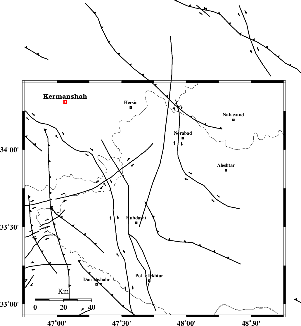
| Region | Lorestan Province, 21 km North-East of Kuhdasht |
Nearest Cities |
|
| 21 km North East of Kuhdasht, Lorestan Province | |
| 30 km North West of Sarabboreh, Lorestan Province | |
| 32 km North East of Ashtarheh golgol, Lorestan Province | |
| 34 km North West of Mahmudvand, Lorestan Province | |
| 40 km North West of Maeulan, Lorestan Province | |
| Depth | 18 km |
| Agency | |
Faults within 150 km: |
|
| HZF4 (Length: 492 km) , Distance to epicenter: 15 km | |
| SAHANEH_F (Length: 77 km) , Distance to epicenter: 71 km | |
| NAHAVAND_F (Length: 102 km) , Distance to epicenter: 79 km | |
| Number of Phases | 4 |
| RMS | 0 |
| Number of Stations | 3 |
| Error in Latitude | >18.4 km |
| Error in Longitude | 10.4 km |
| Error in Depth | 11.5 km |
Download waveform in seisan format
to download seisan software Click here
to access information about IIEES stations Click here
Amplitude | ||||||||
| UID | Agency | Station | Component | Amplitude | Period | Arrival Time | Proccessing Time | Signal Clip |
| 90509 | IIEES | KHMZ | N | 164.5 | 0.48 | 2013-09-10 15:30:47 | 2013-09-10 04:55:00 | n |
| 90510 | IIEES | KHMZ | E | 175.3 | 0.52 | 2013-09-10 15:30:47 | 2013-09-10 04:55:00 | n |
| 90511 | IIEES | GHVR | N | 24.8 | 0.48 | 2013-09-10 15:31:29 | 2013-09-10 04:55:00 | n |
| 90512 | IIEES | GHVR | E | 45.5 | 0.56 | 2013-09-10 15:31:34 | 2013-09-10 04:55:00 | n |
Phase | ||||||||||||
| Agency | Station | Component | Phase Type | Phase Quality | First Motion | Observed Arrival Time | Time Residual | Loc. Flag | Input Weight | Distance | Azimuth | |
| IIEES | SNGE | Z | Pg | E | 2013-09-10 15:30:11 | 0.01 | y | 161 | 347 | |||
| IIEES | KHMZ | Z | Pn | E | 2013-09-10 15:30:18 | 0.04 | y | 205 | 88 | |||
| IIEES | KHMZ | E | Sg | E | 2013-09-10 15:30:43 | 0.01 | y | 205 | 88 | |||
| IIEES | GHVR | Z | Pn | E | 2013-09-10 15:30:33 | -0.06 | y | 334 | 74 | |||