
Magnitude |
3.2 |
| Date & Time (UTC) | 2013-09-24 04:43:26.9 |
| Date & Time (Local) | 1392/7/2 08:13:26.9 |
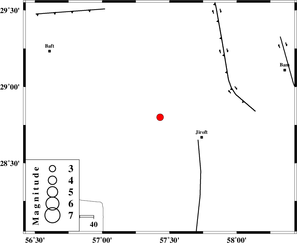
| Location | Lat:28.8 Lon: 57.43 |
| Region | Kerman Province, 34 km North-West of Jiroft |
Nearest Cities |
|
| 24 km South of Eslamabad, Kerman Province | |
| 27 km South West of Delfard, Kerman Province | |
| 30 km South West of Sahebabad, Kerman Province | |
| 33 km North West of Jiroft, Kerman Province | |
| 35 km North East of Dolatabad, Kerman Province | |
| Depth | 15 km |
| Agency | |
Faults within 150 km: |
|
| SABZEVARAN_F (Length: 190 km) , Distance to epicenter: 32 km | |
| GOWK_F (Length: 152 km) , Distance to epicenter: 56 km | |
| LALEHZAR_F (Length: 52 km) , Distance to epicenter: 88 km | |
| Number of Phases | 6 |
| RMS | 0.2 |
| Number of Stations | 7 |
| Error in Latitude | >2.4 km |
| Error in Longitude | 2 km |
| Error in Depth | 0 km |
Download waveform in seisan format
to download seisan software Click here
to access information about IIEES stations Click here
Amplitude | ||||||||
| UID | Agency | Station | Component | Amplitude | Period | Arrival Time | Proccessing Time | Signal Clip |
| 90619 | IIEES | KRBR | E | 368.4 | 0.28 | 2013-09-24 04:44:08 | 2013-09-24 06:34:00 | n |
| 90620 | IIEES | KRBR | N | 360.3 | 0.19 | 2013-09-24 04:44:08 | 2013-09-24 06:34:00 | n |
Phase | ||||||||||||
| Agency | Station | Component | Phase Type | Phase Quality | First Motion | Observed Arrival Time | Time Residual | Loc. Flag | Input Weight | Distance | Azimuth | |
| IIEES | BSRN | Z | Pn | E | 2013-09-24 04:44:22 | 0.11 | y | 387 | 25 | |||
| IIEES | CHBR | Z | Pn | E | 2013-09-24 04:44:32 | 0.03 | y | 466 | 139 | |||
| IIEES | YZKH | Z | Pn | E | 2013-09-24 04:44:34 | -0.07 | y | 482 | 326 | |||
| IIEES | TABS | Z | Pn | E | 2013-09-24 04:44:41 | 0.25 | y | 538 | 357 | |||
| IIEES | AHRM | Z | Pn | E | 2013-09-24 04:44:48 | -0.03 | y | 598 | 272 | |||
| IIEES | SHRT | Z | Pn | E | 2013-09-24 04:44:48 | -0.36 | y | 603 | 26 | |||