
Magnitude |
3 |
| Date & Time (UTC) | 2013-09-24 16:42:10.1 |
| Date & Time (Local) | 1392/7/2 20:12:10.1 |
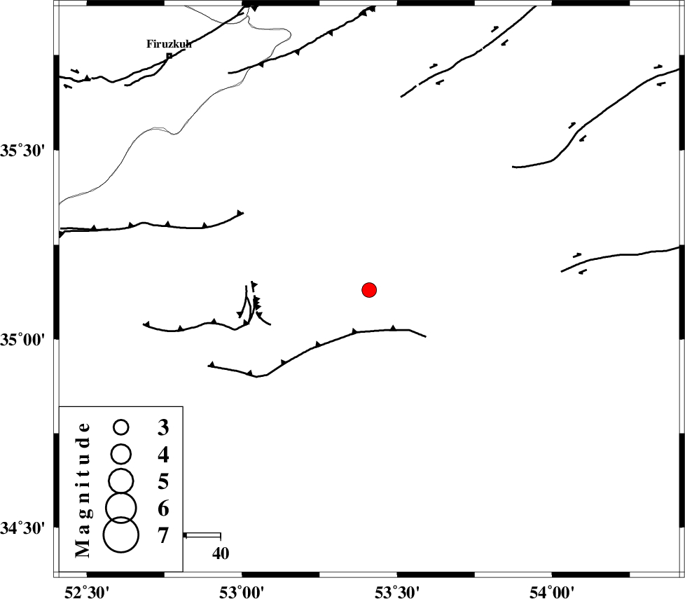
| Location | Lat:35.13 Lon: 53.41 |
| Region | Semnan Province, 48 km South of Semnan |
Nearest Cities |
|
| 41 km South East of Sorkheh, Semnan Province | |
| 43 km South East of Lasjerd, Semnan Province | |
| 46 km South of Alae, Semnan Province | |
| 49 km South of Semnan, Semnan Province | |
| 59 km South East of Aftar, Semnan Province | |
| Depth | 14 km |
| Agency | |
Faults within 150 km: |
|
| KUH_E_GUGERD_F (Length: 73 km) , Distance to epicenter: 13 km | |
| KUH_E_GACHAB_F2 (Length: 31 km) , Distance to epicenter: 17 km | |
| KUH_E_GACHAB_F1 (Length: 53 km) , Distance to epicenter: 32 km | |
| Number of Phases | 5 |
| RMS | 0.2 |
| Number of Stations | 3 |
| Error in Latitude | >3.5 km |
| Error in Longitude | 7.2 km |
| Error in Depth | 8.3 km |
Download waveform in seisan format
to download seisan software Click here
to access information about IIEES stations Click here
Amplitude | ||||||||
| UID | Agency | Station | Component | Amplitude | Period | Arrival Time | Proccessing Time | Signal Clip |
| 90626 | IIEES | GHVR | E | 216.1 | 0.24 | 2013-09-24 16:43:16 | 2013-09-24 07:05:00 | n |
| 90627 | IIEES | GHVR | N | 139 | 0.44 | 2013-09-24 16:43:17 | 2013-09-24 07:05:00 | n |
| 90628 | IIEES | CHTH | E | 65.5 | 0.52 | 2013-09-24 16:43:15 | 2013-09-24 07:05:00 | n |
Phase | ||||||||||||
| Agency | Station | Component | Phase Type | Phase Quality | First Motion | Observed Arrival Time | Time Residual | Loc. Flag | Input Weight | Distance | Azimuth | |
| IIEES | GHVR | Z | Pn | E | 2013-09-24 16:42:44 | 0.05 | y | 211 | 250 | |||
| IIEES | GHVR | N | Sg | E | 2013-09-24 16:43:09 | -0.08 | y | 211 | 250 | |||
| IIEES | CHTH | Z | Pg | E | 2013-09-24 16:42:46 | -0.26 | y | 224 | 293 | |||
| IIEES | CHTH | E | Sg | E | 2013-09-24 16:43:13 | 0.14 | y | 224 | 293 | |||
| IIEES | ASAO | Z | Pn | E | 2013-09-24 16:42:57 | 0.17 | y | 316 | 259 | |||