
Magnitude |
3.8 |
| Date & Time (UTC) | 2013-11-22 15:23:24.9 |
| Date & Time (Local) | 1392/9/1 18:53:24.9 |
| Location | Lat:34.39 Lon: 45.52 |
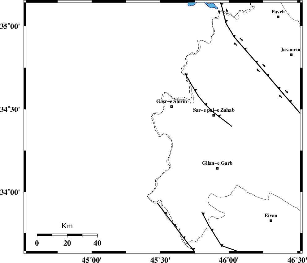
| Region | Kermanshah Province, 15 km South of Qasr-E-Shirin |
Nearest Cities |
|
| 4 km of Khosravi, Kermanshah Province | |
| 9 km of Seyyed sohrab, Kermanshah Province | |
| 15 km South of Qasr-E-Shirin, Kermanshah Province | |
| 22 km South West of Aqabarar, Kermanshah Province | |
| 26 km West of Qareh belagh, Kermanshah Province | |
| Depth | 11 km |
| Agency | |
Faults within 150 km: |
|
| MFF8 (Length: 48 km) , Distance to epicenter: 31 km | |
| ZFF4 (Length: 128 km) , Distance to epicenter: 51 km | |
| MFF7 (Length: 99 km) , Distance to epicenter: 63 km | |
| Number of Phases | 7 |
| RMS | 0 |
| Number of Stations | 6 |
| Error in Latitude | >2.3 km |
| Error in Longitude | 11.5 km |
| Error in Depth | 9 km |
Download waveform in seisan format
to download seisan software Click here
to access information about IIEES stations Click here
Amplitude | ||||||||
| UID | Agency | Station | Component | Amplitude | Period | Arrival Time | Proccessing Time | Signal Clip |
| 91037 | IIEES | SHGR | N | 141.4 | 0.2 | 2013-11-22 15:25:06 | 2013-11-22 03:58:00 | n |
| 91038 | IIEES | SHGR | E | 184.5 | 0.24 | 2013-11-22 15:25:08 | 2013-11-22 03:58:00 | n |
Phase | ||||||||||||
| Agency | Station | Component | Phase Type | Phase Quality | First Motion | Observed Arrival Time | Time Residual | Loc. Flag | Input Weight | Distance | Azimuth | |
| IIEES | ZNJK | Z | Pn | E | 2013-11-22 15:24:20 | 0.01 | y | 383 | 48 | |||
| IIEES | SHGR | Z | Pn | E | 2013-11-22 15:24:22 | 0.03 | y | 397 | 129 | |||
| IIEES | SHGR | E | S | E | 2013-11-22 15:25:03 | 0 | y | 397 | 129 | |||
| IIEES | KHMZ | Z | Pn | E | 2013-11-22 15:24:24 | 0.02 | y | 417 | 99 | |||
| IIEES | GHVR | Z | Pn | E | 2013-11-22 15:24:38 | -0.02 | y | 526 | 87 | |||
| IIEES | CHTH | Z | Pn | E | 2013-11-22 15:24:39 | -0.02 | y | 538 | 70 | |||
| IIEES | AHRM | Z | P | E | 2013-11-22 15:25:14 | -0.08 | y | 821 | 137 | |||