
Magnitude |
3.4 |
| Date & Time (UTC) | 2013-12-05 11:28:50.1 |
| Date & Time (Local) | 1392/9/14 14:58:50.1 |
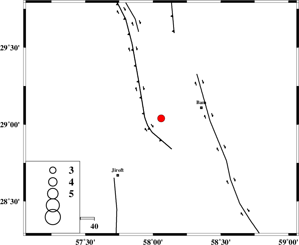
| Location | Lat:29.04 Lon: 58.06 |
| Region | Kerman Province, 30 km West of Bam |
Nearest Cities |
|
| 20 km North East of Mohammadabad, Kerman Province | |
| 28 km North East of Saghdar, Kerman Province | |
| 30 km West of Bam, Kerman Province | |
| 33 km West of Baravat, Kerman Province | |
| 34 km West of Poshtrud, Kerman Province | |
| Depth | 15 km |
| Agency | |
Faults within 150 km: |
|
| GOWK_F (Length: 152 km) , Distance to epicenter: 11 km | |
| BAM_F (Length: 118 km) , Distance to epicenter: 35 km | |
| SABZEVARAN_F (Length: 190 km) , Distance to epicenter: 55 km | |
| Number of Phases | 4 |
| RMS | 0.6 |
| Number of Stations | 4 |
| Error in Latitude | >7.9 km |
| Error in Longitude | 4.4 km |
| Error in Depth | 0 km |
Download waveform in seisan format
to download seisan software Click here
to access information about IIEES stations Click here
Amplitude | ||||||||
| UID | Agency | Station | Component | Amplitude | Period | Arrival Time | Proccessing Time | Signal Clip |
| 91149 | IIEES | KRBR | E | 476.2 | 0.24 | 2013-12-05 11:29:42 | 2013-12-05 11:58:00 | n |
| 91150 | IIEES | BSRN | N | 128.7 | 0.28 | 2013-12-05 11:30:23 | 2013-12-05 11:58:00 | n |
Phase | ||||||||||||
| Agency | Station | Component | Phase Type | Phase Quality | First Motion | Observed Arrival Time | Time Residual | Loc. Flag | Input Weight | Distance | Azimuth | |
| IIEES | KRBR | Z | Pn | E | 2013-12-05 11:29:18 | 0.58 | y | 164 | 310 | |||
| IIEES | BNDS | Z | Pn | E | 2013-12-05 11:29:29 | -0.31 | y | 259 | 226 | |||
| IIEES | ZHSF | Z | Pn | E | 2013-12-05 11:29:32 | 0.47 | y | 272 | 76 | |||
| IIEES | BSRN | Z | Pn | E | 2013-12-05 11:29:39 | -0.84 | y | 341 | 17 | |||