
Magnitude |
3.3 |
| Date & Time (UTC) | 2013-12-29 14:58:38.5 |
| Date & Time (Local) | 1392/10/8 18:28:38.5 |
| Location | Lat:30.29 Lon: 51.18 |
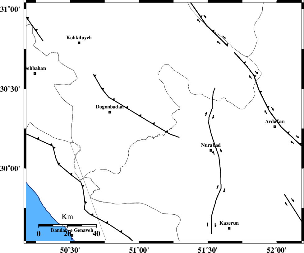
| Region | Kohkiluieh va boyerahmad Province, 38 km East of Dogonbadan |
Nearest Cities |
|
| 8 km of Basht, Kohkiluieh va boyerahmad Province | |
| 12 km West of Kopon olia, Fars Province | |
| 20 km West of Dehnumoqimi, Fars Province | |
| 22 km South East of Abdehgah, Kohkiluieh va boyerahmad Province | |
| 22 km South West of Chehar taq, Fars Province | |
| Depth | 14 km |
| Agency | |
Faults within 150 km: |
|
| MISHAN_F (Length: 76 km) , Distance to epicenter: 9 km | |
| KAZERUN_F (Length: 96 km) , Distance to epicenter: 31 km | |
| HZF3 (Length: 197 km) , Distance to epicenter: 69 km | |
| Number of Phases | 6 |
| RMS | 0.1 |
| Number of Stations | 5 |
| Error in Latitude | >1.8 km |
| Error in Longitude | 2.8 km |
| Error in Depth | 6.5 km |
Download waveform in seisan format
to download seisan software Click here
to access information about IIEES stations Click here
Amplitude | ||||||||
| UID | Agency | Station | Component | Amplitude | Period | Arrival Time | Proccessing Time | Signal Clip |
| 91311 | IIEES | AHRM | E | 563.4 | 0.68 | 2013-12-29 14:59:34 | 2013-12-29 04:13:00 | n |
| 91312 | IIEES | AHRM | N | 739.7 | 0.64 | 2013-12-29 14:59:34 | 2013-12-29 04:13:00 | n |
| 91313 | IIEES | SHGR | N | 145.2 | 0.76 | 2013-12-29 15:00:26 | 2013-12-29 04:13:00 | n |
| 91314 | IIEES | SHGR | E | 99 | 0.72 | 2013-12-29 15:00:29 | 2013-12-29 04:13:00 | n |
| 91315 | IIEES | KHMZ | E | 26.2 | 0.44 | 2013-12-29 15:00:24 | 2013-12-29 04:13:00 | n |
Phase | ||||||||||||
| Agency | Station | Component | Phase Type | Phase Quality | First Motion | Observed Arrival Time | Time Residual | Loc. Flag | Input Weight | Distance | Azimuth | |
| IIEES | AHRM | Z | Pn | E | 2013-12-29 14:59:05 | 0.06 | y | 158 | 176 | |||
| IIEES | AHRM | N | Sg | E | 2013-12-29 14:59:23 | -0.02 | y | 158 | 176 | |||
| IIEES | SHGR | Z | Pn | E | 2013-12-29 14:59:23 | 0.04 | y | 303 | 312 | |||
| IIEES | YZKH | Z | Pn | E | 2013-12-29 14:59:36 | 0.09 | y | 399 | 53 | |||
| IIEES | KHMZ | Z | Pn | E | 2013-12-29 14:59:35 | -0.1 | y | 399 | 344 | |||
| IIEES | BNDS | Z | Pn | E | 2013-12-29 14:59:58 | -0.12 | y | 583 | 122 | |||