
Magnitude |
4.8 |
| Date & Time (UTC) | 2014-02-02 10:29:05.1 |
| Date & Time (Local) | 1392/11/13 13:59:05.1 |
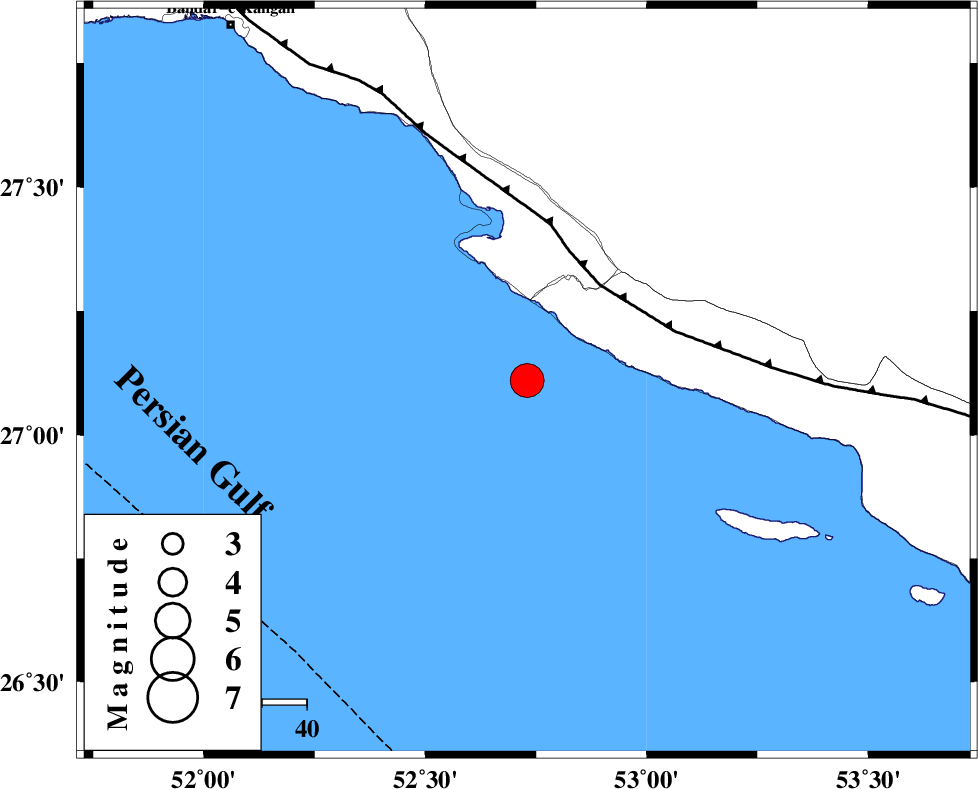
| Location | Lat:27.11 Lon: 52.73 |
| Region | Persian Gulf, 51 km South-West of Mehr |
Nearest Cities |
|
| 28 km South of Chah-e mobarak, Bushehr Province | |
| 42 km South East of Bandar-e asaluyeh, Bushehr Province | |
| 45 km South West of Khoozi, Fars Province | |
| 50 km South West of Lamerd, Fars Province | |
| 51 km South West of Mehr, Fars Province | |
| Depth | 15 km |
| Agency | |
Faults within 150 km: |
|
| MFF3 (Length: 292 km) , Distance to epicenter: 27 km | |
| ZFF1 (Length: 165 km) , Distance to epicenter: 110 km | |
| LAR_F (Length: 99 km) , Distance to epicenter: 129 km | |
| Number of Phases | 7 |
| RMS | 0.6 |
| Number of Stations | 7 |
| Error in Latitude | >15.4 km |
| Error in Longitude | 3.5 km |
| Error in Depth | 0 km |
Download waveform in seisan format
to download seisan software Click here
to access information about IIEES stations Click here
Amplitude | ||||||||
| UID | Agency | Station | Component | Amplitude | Period | Arrival Time | Proccessing Time | Signal Clip |
| 91698 | IIEES | SHGR | E | 370.3 | 0.57 | 2014-02-02 10:31:47 | 2014-02-02 11:02:00 | n |
| 91699 | IIEES | SHGR | N | 250.7 | 0.5 | 2014-02-02 10:31:48 | 2014-02-02 11:02:00 | n |
Phase | ||||||||||||
| Agency | Station | Component | Phase Type | Phase Quality | First Motion | Observed Arrival Time | Time Residual | Loc. Flag | Input Weight | Distance | Azimuth | |
| IIEES | AHRM | Z | Pn | E | 2014-02-02 10:29:43 | 0.59 | y | 240 | 324 | |||
| IIEES | KRBR | Z | Pn | E | 2014-02-02 10:30:16 | 0.35 | y | 507 | 50 | |||
| IIEES | YZKH | Z | Pn | E | 2014-02-02 10:30:28 | -0.44 | y | 613 | 17 | |||
| IIEES | SHGR | Z | Pn | E | 2014-02-02 10:30:35 | -0.67 | y | 672 | 326 | |||
| IIEES | KHMZ | Z | Pn | E | 2014-02-02 10:30:49 | -0.7 | y | 782 | 341 | |||
| IIEES | CHBR | Z | Pn | E | 2014-02-02 10:30:50 | -0.55 | y | 792 | 100 | |||
| IIEES | ZHSF | Z | Pn | E | 2014-02-02 10:30:57 | 0.56 | y | 836 | 69 | |||