
Magnitude |
2.8 |
| Date & Time (UTC) | 2014-10-18 18:49:40.8 |
| Date & Time (Local) | 1393/7/26 22:19:40.8 |
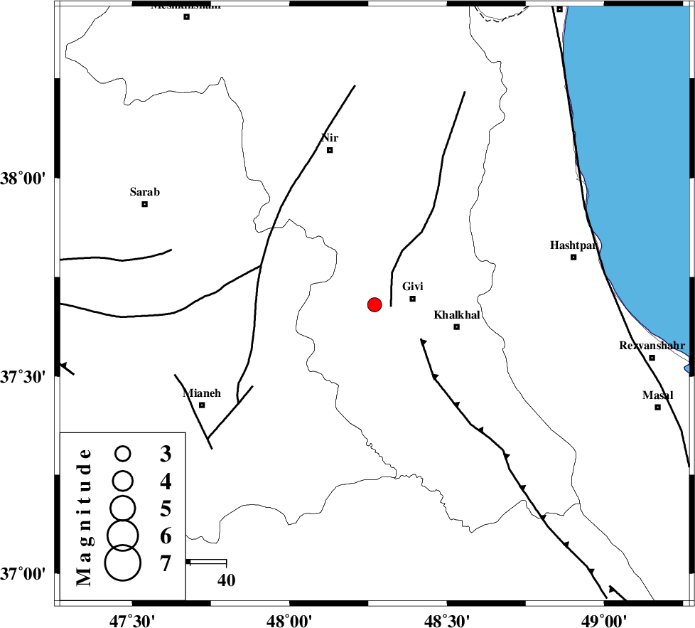
| Location | Lat:37.68 Lon: 48.27 |
| Region | Ardebil Province, 11 km West of Givi |
Nearest Cities |
|
| 3 km of Ganjgah, Ardebil Province | |
| 9 km North of Firuz Abad, Ardebil Province | |
| 11 km West of Givi, Ardebil Province | |
| 16 km North West of Gazaz, Ardebil Province | |
| 24 km North West of Khalkhal, Ardebil Province | |
| Depth | 14 km |
| Agency | |
Faults within 150 km: |
|
| SANGAVAR_F (Length: 61 km) , Distance to epicenter: 5 km | |
| MASULEL_F (Length: 90 km) , Distance to epicenter: 16 km | |
| BOZQUSH (Length: 70 km) , Distance to epicenter: 34 km | |
| Number of Phases | 8 |
| RMS | 0.3 |
| Number of Stations | 6 |
| Error in Latitude | >3 km |
| Error in Longitude | 6 km |
| Error in Depth | 6.8 km |
Download waveform in seisan format
to download seisan software Click here
to access information about IIEES stations Click here
Amplitude | ||||||||
| UID | Agency | Station | Component | Amplitude | Period | Arrival Time | Proccessing Time | Signal Clip |
| 94000 | IIEES | GRMI | E | 187.1 | 0.18 | 2014-10-18 18:50:22 | 2014-10-19 11:25:00 | n |
| 94001 | IIEES | GRMI | N | 190.9 | 0.16 | 2014-10-18 18:50:23 | 2014-10-19 11:25:00 | n |
Phase | ||||||||||||
| Agency | Station | Component | Phase Type | Phase Quality | First Motion | Observed Arrival Time | Time Residual | Loc. Flag | Input Weight | Distance | Azimuth | |
| IIEES | ZNJK | Z | Pg | E | 2014-10-18 18:50:00 | -0.54 | y | 118 | 162 | |||
| IIEES | GRMI | Z | Pg | E | 2014-10-18 18:50:02 | -0.2 | y | 130 | 345 | |||
| IIEES | GRMI | E | Sg | E | 2014-10-18 18:50:18 | 0.09 | y | 130 | 345 | |||
| IIEES | SNGE | Z | Pn | E | 2014-10-18 18:50:26 | 0.41 | y | 299 | 196 | |||
| IIEES | THKV | Z | Pn | E | 2014-10-18 18:50:26 | 0 | y | 304 | 129 | |||
| IIEES | THKV | N | Sg | E | 2014-10-18 18:51:06 | 0.26 | y | 304 | 129 | |||
| IIEES | MAKU | Z | Pn | E | 2014-10-18 18:50:33 | 0.1 | y | 364 | 302 | |||
| IIEES | ASAO | Z | Pn | E | 2014-10-18 18:50:36 | -0.06 | y | 382 | 155 | |||

 IIEES All Rights Reserved