
Magnitude |
2.1 |
| Date & Time (UTC) | 2014-11-11 03:20:05.0 |
| Date & Time (Local) | 1393/8/20 06:50:05.0 |
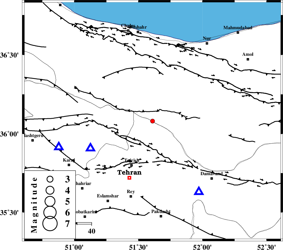
| Location | Lat:36.08 Lon: 51.61 |
| Region | Tehran Province, 34 km North-East of Tajrish |
Nearest Cities |
|
| 18 km South of Void, Mazandaran Province | |
| 18 km North of Fasham, Tehran Province | |
| 18 km North East of Meygon, Tehran Province | |
| 20 km North East of Nesa, Tehran Province | |
| 22 km South West of Baladeh, Mazandaran Province | |
| Depth | 6 km |
| Agency | |
Faults within 150 km: |
|
| KANDOVAN_F (Length: 90 km) , Distance to epicenter: 8 km | |
| MOSHA_F (Length: 234 km) , Distance to epicenter: 16 km | |
| N_TEHRAN_F4 (Length: 115 km) , Distance to epicenter: 30 km | |
| Number of Phases | 4 |
| RMS | 0.1 |
| Number of Stations | 5 |
| Error in Latitude | >3.1 km |
| Error in Longitude | 3.4 km |
| Error in Depth | 5.1 km |
Download waveform in seisan format
to download seisan software Click here
to access information about IIEES stations Click here
Amplitude | ||||||||
| UID | Agency | Station | Component | Amplitude | Period | Arrival Time | Proccessing Time | Signal Clip |
| 94251 | IIEES | THKV | N | 107.3 | 0.16 | 2014-11-11 03:20:25 | 2014-11-11 03:45:00 | n |
| 94252 | IIEES | GHVR | E | 38.5 | 0.36 | 2014-11-11 03:21:03 | 2014-11-11 03:45:00 | n |
| 94253 | IIEES | ASAO | E | 10.6 | 0.48 | 2014-11-11 03:21:11 | 2014-11-11 03:45:00 | n |
Phase | ||||||||||||
| Agency | Station | Component | Phase Type | Phase Quality | First Motion | Observed Arrival Time | Time Residual | Loc. Flag | Input Weight | Distance | Azimuth | |
| IIEES | CHTH | Z | Pg | E | 2014-11-11 03:20:13 | -0.16 | y | 47.5 | 247 | |||
| IIEES | DAMV | Z | Pg | E | 2014-11-11 03:20:15 | -0.07 | y | 59.1 | 147 | |||
| IIEES | GHVR | E | Sg | E | 2014-11-11 03:20:58 | -0.01 | y | 180 | 191 | |||
| IIEES | ASAO | Z | Pn | E | 2014-11-11 03:20:41 | 0.23 | y | 223 | 221 | |||