
Magnitude |
3.1 |
| Date & Time (UTC) | 2015-05-06 13:41:44.3 |
| Date & Time (Local) | 1394/2/16 18:11:44.3 |
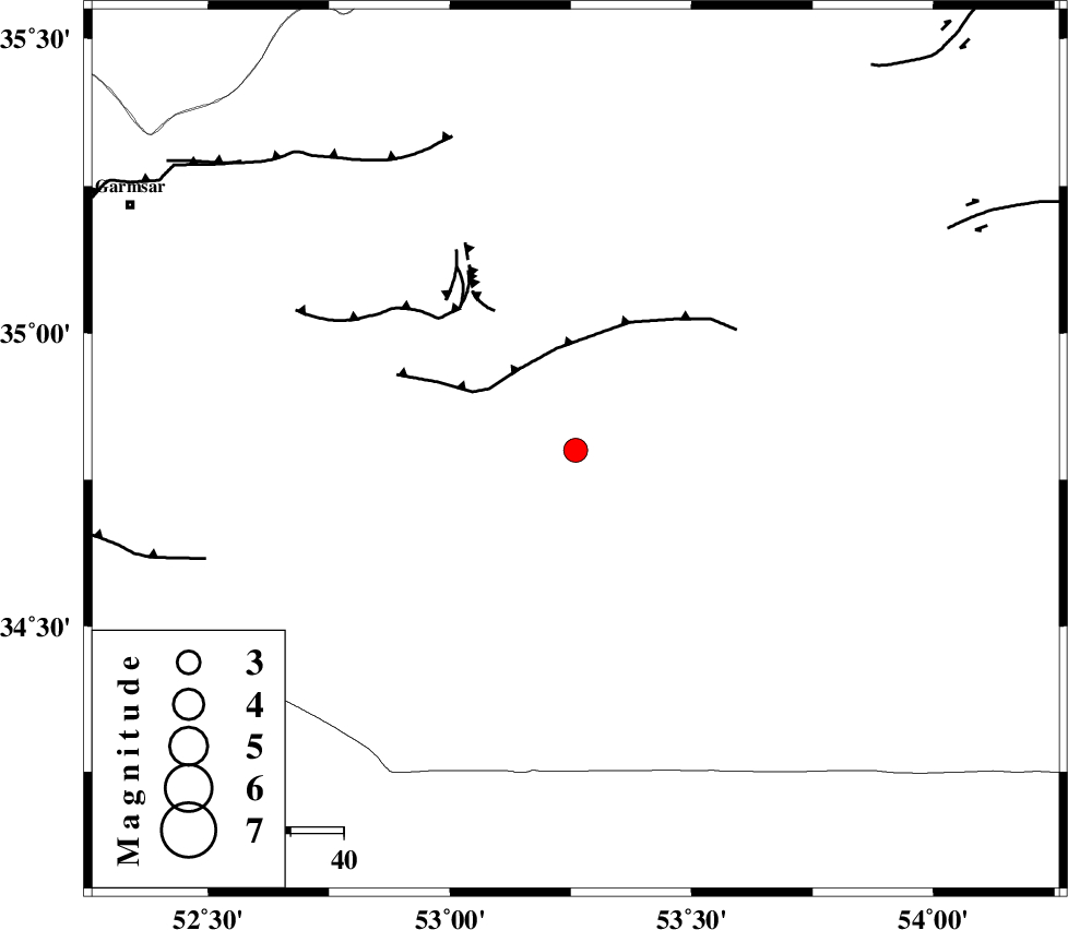
| Location | Lat:34.8 Lon: 53.26 |
| Region | Semnan Province, 87 km South-West of Semnan |
Nearest Cities |
|
| 69 km South East of Lasjerd, Semnan Province | |
| 74 km South of Sorkheh, Semnan Province | |
| 80 km South East of Kohanabad, Semnan Province | |
| 84 km South East of Aradan, Semnan Province | |
| 85 km South West of Alae, Semnan Province | |
| Depth | 16 km |
| Agency | |
Faults within 150 km: |
|
| KUH_E_GUGERD_F (Length: 73 km) , Distance to epicenter: 19 km | |
| KUH_E_GACHAB_F1 (Length: 53 km) , Distance to epicenter: 35 km | |
| KUH_E_GACHAB_F2 (Length: 31 km) , Distance to epicenter: 51 km | |
| Number of Phases | 5 |
| RMS | 0 |
| Number of Stations | 4 |
| Error in Latitude | >3.3 km |
| Error in Longitude | 4.9 km |
| Error in Depth | 4.5 km |
Download waveform in seisan format
to download seisan software Click here
to access information about IIEES stations Click here
Amplitude | ||||||||
| UID | Agency | Station | Component | Amplitude | Period | Arrival Time | Proccessing Time | Signal Clip |
| 95594 | IIEES | THKV | N | 121.1 | 0.36 | 2015-05-06 13:42:56 | 2015-05-06 03:02:00 | n |
Phase | ||||||||||||
| Agency | Station | Component | Phase Type | Phase Quality | First Motion | Observed Arrival Time | Time Residual | Loc. Flag | Input Weight | Distance | Azimuth | |
| IIEES | DAMV | Z | Pg | E | 2015-05-06 13:42:09 | 0.02 | y | 150 | 309 | |||
| IIEES | GHVR | Z | Pn | E | 2015-05-06 13:42:15 | 0.04 | y | 188 | 260 | |||
| IIEES | NASN | Z | Pn | E | 2015-05-06 13:42:20 | -0.02 | y | 226 | 191 | |||
| IIEES | THKV | Z | Pn | E | 2015-05-06 13:42:22 | -0.02 | y | 250 | 300 | |||
| IIEES | THKV | N | Sg | E | 2015-05-06 13:42:54 | -0.02 | y | 250 | 300 | |||