Home / Recent Earthquakes

| Prel. Rep. | Date | Time(UTC) | Time(Local) | Lat. | Lon. | Depth | Mag. | Region | Waveform |
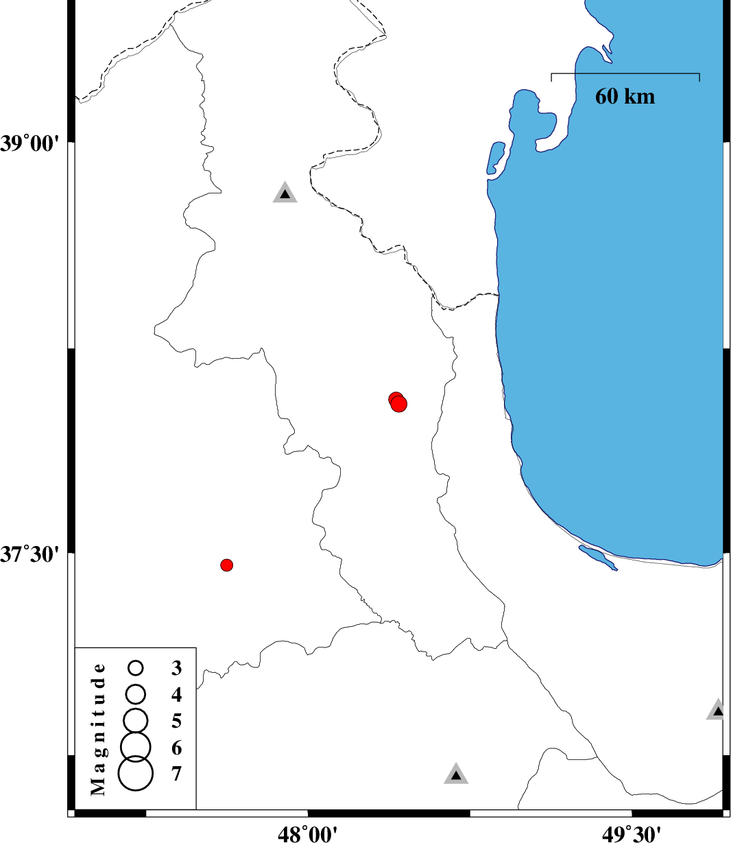
| 2015/10/11 | 19:11:30.6 | 22:41:30.6 | 38.047 | 48.42 | 14 | ML:3.4 | Ardebil Province, 26 km -East of Nir | ||
| 2015/10/11 | 12:30:53.4 | 16:00:53.4 | 38.063 | 48.408 | 14 | ML:3.1 | Ardebil Province, 25 km -East of Nir | ||
| 2015/10/04 | 13:08:32.3 | 16:38:32.3 | 37.455 | 47.623 | 14 | ML:2.6 | Azarbaijan Sharghi Province, 9 km of Mianeh |