Home / Recent Earthquakes

| Prel. Rep. | Date | Time(UTC) | Time(Local) | Lat. | Lon. | Depth | Mag. | Region | Waveform |
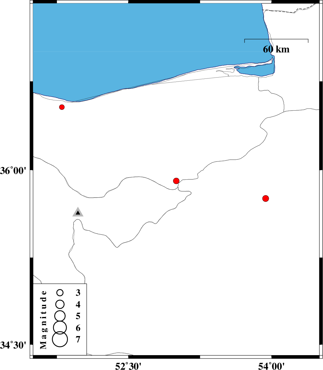
| 2016/08/02 | 18:59:15.5 | 23:29:15.5 | 35.906 | 53.001 | 15 | ML:2.8 | Mazandaran Province, 24 km South of Pol-E-Sefid | ||
| 2016/08/02 | 00:46:00.4 | 05:16:00.4 | 36.533 | 51.802 | 15 | ML:2.4 | Mazandaran Province, 21 km -West of Nur | ||
| 2016/07/26 | 04:12:10.3 | 08:42:10.3 | 35.756 | 53.938 | 14 | ML:2.9 | Semnan Province, 53 km North-East of Semnan |