Home / Recent Earthquakes

| Prel. Rep. | Date | Time(UTC) | Time(Local) | Lat. | Lon. | Depth | Mag. | Region | Waveform |
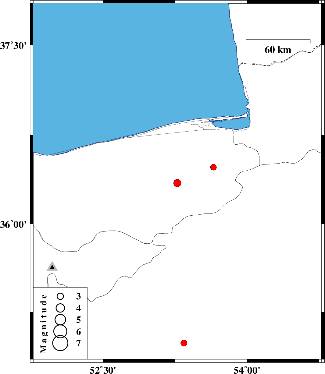
| 2017/03/13 | 08:05:13.5 | 11:35:13.5 | 36.345 | 53.275 | 25 | ML:3.5 | Mazandaran Province, 34 km South of Neka | ||
| 2017/03/08 | 15:22:59.1 | 18:52:59.1 | 36.479 | 53.652 | 14 | ML:2.8 | Mazandaran Province, 26 km South-East of Behshahr | ||
| 2017/03/07 | 08:34:57.1 | 12:04:57.1 | 34.983 | 53.343 | 14 | ML:2.9 | Semnan Province, 65 km South of Semnan |