Home / Recent Earthquakes

| Prel. Rep. | Date | Time(UTC) | Time(Local) | Lat. | Lon. | Depth | Mag. | Region | Waveform |
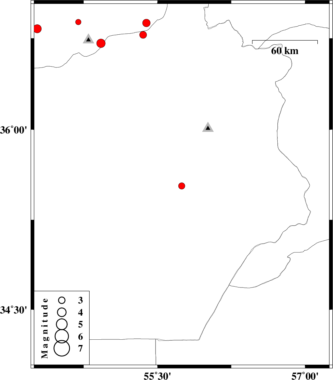
| 2017/04/01 | 14:49:12.4 | 19:19:12.4 | 35.533 | 55.746 | 14 | ML:2.9 | Semnan Province, 121 km South-East of Shahrud | ||
| 2017/03/31 | 12:05:37.2 | 16:35:37.2 | 36.874 | 55.387 | 6 | ML:3.5 | Golestan Province, 40 km South of Minodasht | ||
| 2017/03/22 | 19:53:25.2 | 00:23:25.2 | 36.827 | 54.277 | 15 | ML:3.8 | Golestan Province, 14 km -West of Gorgan | ||
| 2017/03/20 | 00:30:47.0 | 04:00:47.0 | 36.882 | 54.695 | 15 | ML:2.5 | Golestan Province, 16 km -West of Ali Abad | ||
| 2017/03/18 | 23:10:50.2 | 02:40:50.2 | 36.778 | 55.354 | 15 | ML:3.2 | Semnan Province, 32 km South-East of Ramian | ||
| 2017/03/12 | 19:08:10.5 | 22:38:10.5 | 36.708 | 54.926 | 17 | ML:4 | Golestan Province, 23 km South of Ali Abad |