Home / Recent Earthquakes

| Prel. Rep. | Date | Time(UTC) | Time(Local) | Lat. | Lon. | Depth | Mag. | Region | Waveform |
| 2017/11/14 | 17:10:28.5 | 20:40:28.5 | 31.835 | 49.527 | 14 | ML:3.2 | Khoozestan Province, 24 km -East of Masjed Soleyman | ||
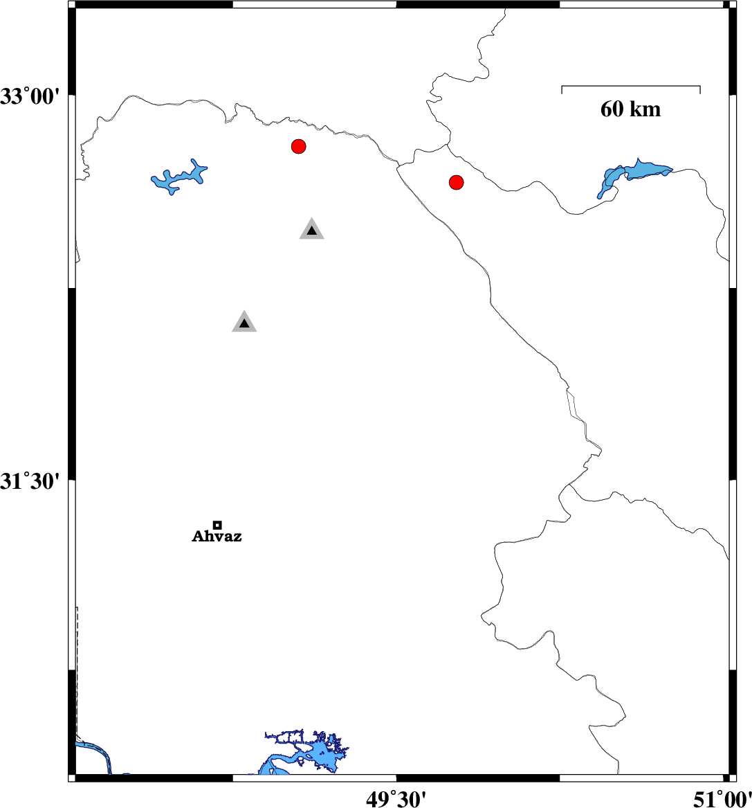
| 2017/11/14 | 03:00:45.7 | 06:30:45.7 | 32.138 | 49.28 | 14 | ML:3.2 | Khoozestan Province, 23 km North of Masjed Soleyman | ||
| 2017/11/13 | 22:48:00.4 | 02:18:00.4 | 32.457 | 49.375 | 15 | ML:3 | Khoozestan Province, 26 km -East of Lali | ||
| 2017/11/12 | 18:56:38.0 | 22:26:38.0 | 32.676 | 49.876 | 15 | ML:3.7 | Chaharmahal Bakhtiari Province, 33 km North-West of Chelgard | ||
| 2017/11/07 | 18:05:38.2 | 21:35:38.2 | 30.857 | 50.279 | 15 | ML:3 | Kohkiluieh va boyerahmad Province, 29 km North of Behbahan | ||
| 2017/11/07 | 12:14:35.3 | 15:44:35.3 | 32.109 | 49.66 | 14 | ML:2.1 | Khoozestan Province, 36 km North-West of Izeh | ||
| 2017/11/03 | 20:02:24.1 | 23:32:24.1 | 30.714 | 51.003 | 16 | ML:2.9 | Kohkiluieh va boyerahmad Province, 43 km -East of Dehdasht | ||
| 2017/10/25 | 09:06:05.9 | 12:36:05.9 | 32.385 | 49.398 | 14 | ML:2.6 | Khoozestan Province, 27 km -East of Lali | ||
| 2017/10/22 | 15:54:26.6 | 19:24:26.6 | 32.057 | 50.67 | 14 | ML:2.8 | Chaharmahal Bakhtiari Province, 7 km of Ardel |