Home / Recent Earthquakes

| Prel. Rep. | Date | Time(UTC) | Time(Local) | Lat. | Lon. | Depth | Mag. | Region | Waveform |
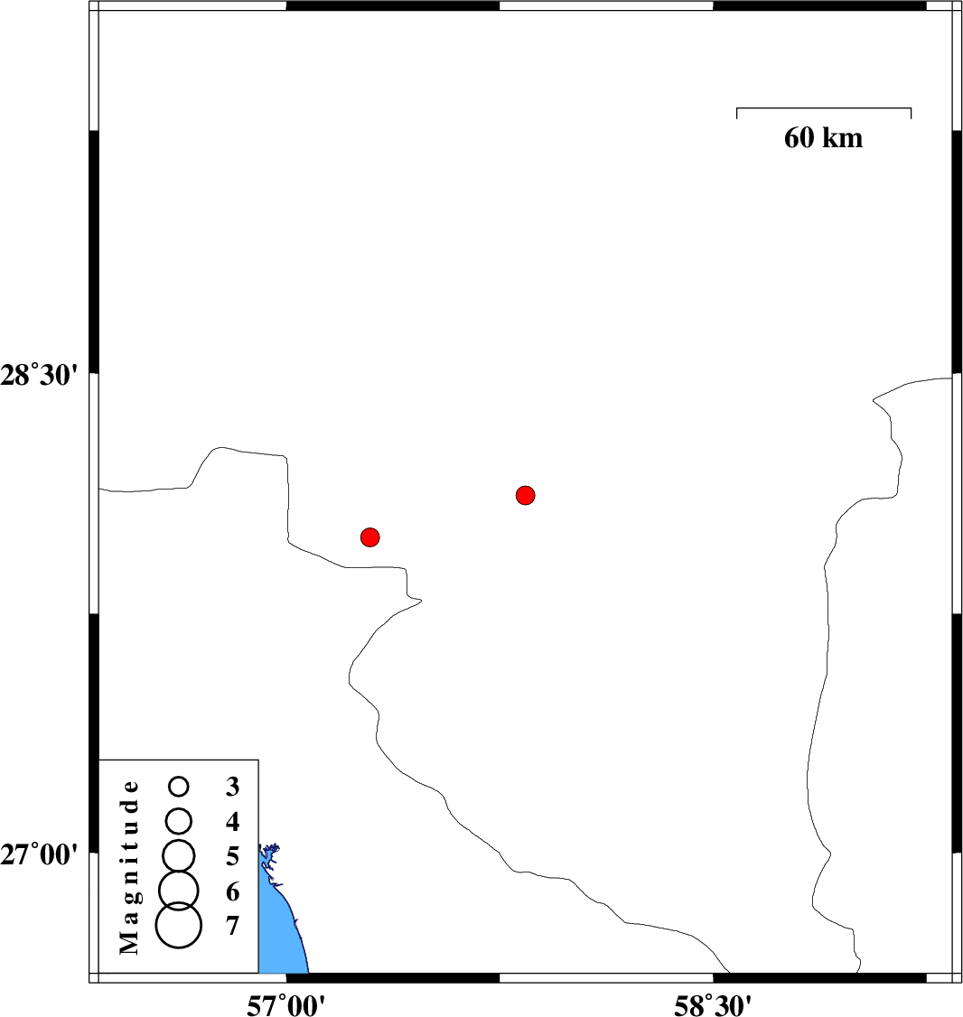
| 2017/12/04 | 18:46:17.8 | 22:16:17.8 | 28.12 | 57.84 | 14 | ML:2.9 | Kerman Province, 24 km North-East of Kahnuj | ||
| 2017/11/27 | 08:43:55.3 | 12:13:55.3 | 27.988 | 57.294 | 17 | ML:3 | Kerman Province, 40 km -West of Kahnuj |