Home / Recent Earthquakes

| Prel. Rep. | Date | Time(UTC) | Time(Local) | Lat. | Lon. | Depth | Mag. | Region | Waveform |
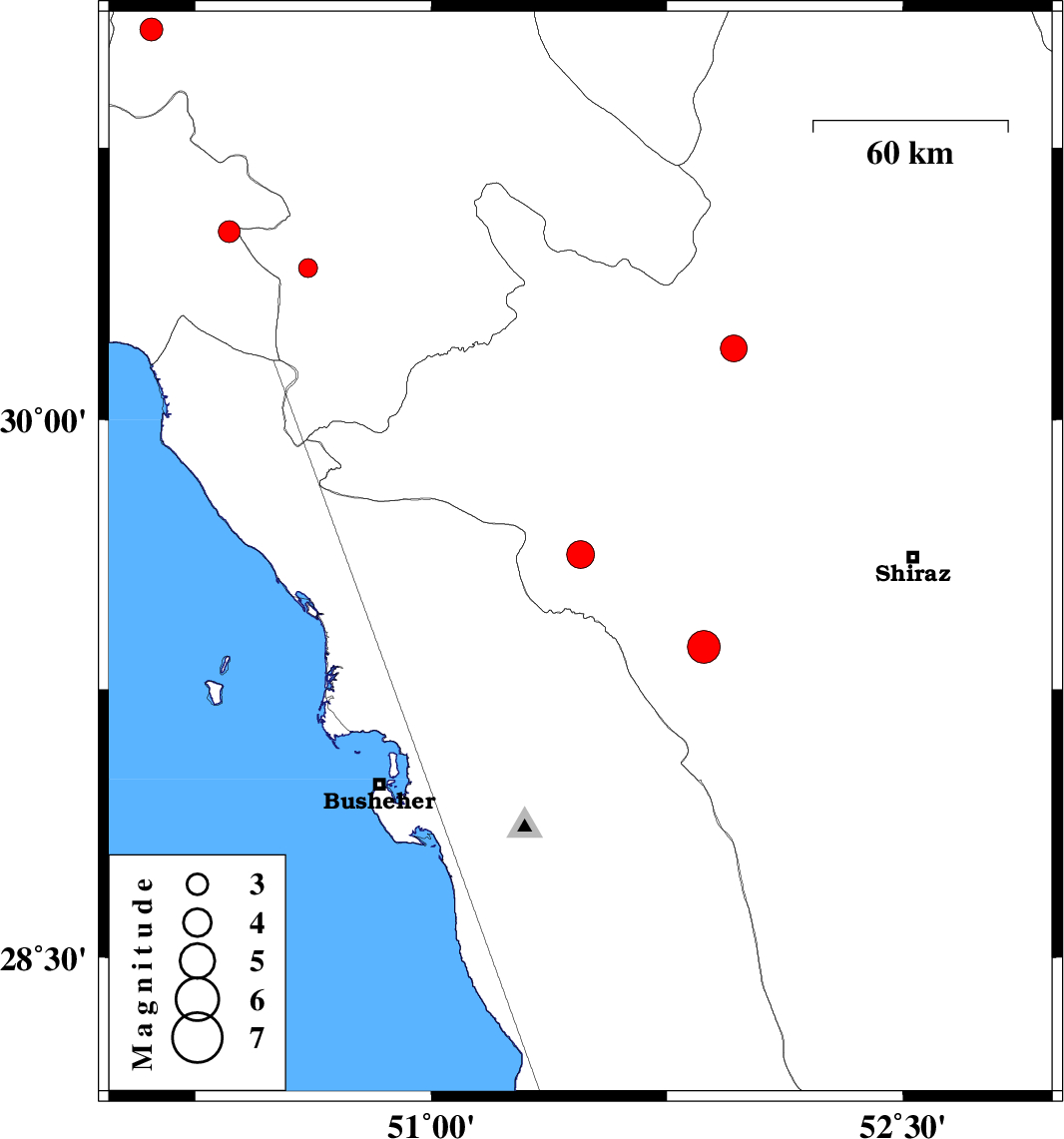
| 2018/01/09 | 08:56:39.2 | 12:26:39.2 | 29.625 | 51.475 | 15 | ML:3.9 | Fars Province, 17 km -West of Kazerun | ||
| 2018/01/01 | 12:27:13.9 | 15:57:13.9 | 31.074 | 50.11 | 15 | ML:3.3 | Kohkiluieh va boyerahmad Province, 55 km North-West of Behbahan | ||
| 2017/12/30 | 20:53:23.4 | 00:23:23.4 | 29.369 | 51.868 | 15 | ML:4.6 | Fars Province, 35 km South-East of Kazerun | ||
| 2017/12/26 | 12:15:04.2 | 15:45:04.2 | 30.197 | 51.962 | 17 | ML:3.8 | Fars Province, 8 km of Ardakan | ||
| 2017/12/17 | 22:36:54.4 | 02:06:54.4 | 30.419 | 50.608 | 17 | ML:2.7 | Kohkiluieh va boyerahmad Province, 19 km -West of Dogonbadan | ||
| 2017/12/11 | 23:49:16.5 | 03:19:16.5 | 30.519 | 50.358 | 15 | ML:3.1 | Khoozestan Province, 14 km -East of Behbahan |