Home / Recent Earthquakes

| Prel. Rep. | Date | Time(UTC) | Time(Local) | Lat. | Lon. | Depth | Mag. | Region | Waveform |
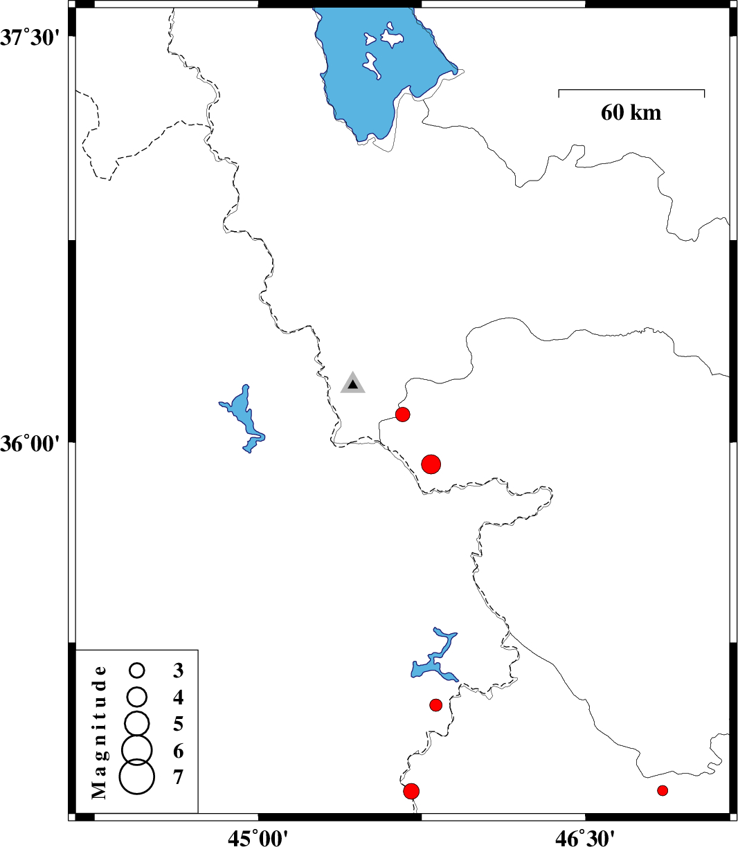
| 2018/01/22 | 03:04:56.8 | 06:34:56.8 | 36.104 | 45.662 | 14 | ML:3 | Azarbaijan Gharbi Province, 19 km -East of Sardasht | ||
| 2018/01/21 | 15:05:55.5 | 18:35:55.5 | 34.691 | 46.855 | 8 | ML:2.1 | Kermanshah Province, 16 km South of Kamyaran | ||
| 2018/01/21 | 09:07:29.8 | 12:37:29.8 | 35.918 | 45.792 | 14 | ML:4 | Kurdistan Province, 12 km of Baneh | ||
| 2018/01/16 | 13:38:02.5 | 17:08:02.5 | 35.014 | 45.815 | 14 | ML:2.6 | Iraq, 28 km North of Tazehabad | ||
| 2018/01/15 | 06:58:57.3 | 10:28:57.3 | 34.688 | 45.702 | 6 | ML:3.2 | Kermanshah Province, 15 km -West of Tazehabad |