Home / Recent Earthquakes

| Prel. Rep. | Date | Time(UTC) | Time(Local) | Lat. | Lon. | Depth | Mag. | Region | Waveform |
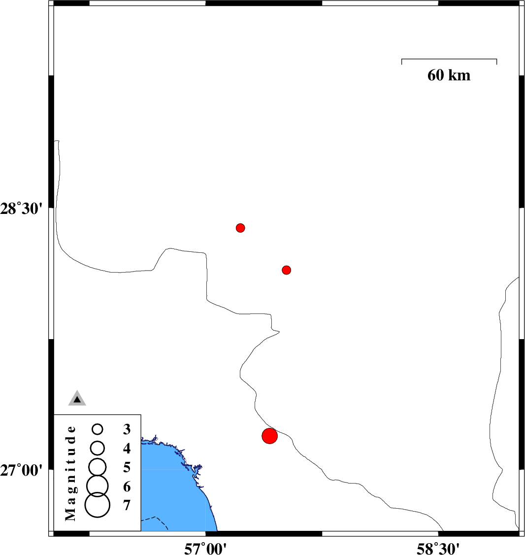
| 2018/01/28 | 23:29:32.0 | 02:59:32.0 | 28.144 | 57.52 | 14 | ML:2.5 | Kerman Province, 28 km North-West of Kahnuj | ||
| 2018/01/25 | 17:17:36.3 | 20:47:36.3 | 27.194 | 57.412 | 15 | ML:4.5 | Hormozgan Province, 25 km South of Manujan | ||
| 2018/01/21 | 20:06:19.7 | 23:36:19.7 | 28.385 | 57.224 | 14 | ML:2.5 | Kerman Province, 59 km South-West of Jiroft |