Home / Recent Earthquakes

| Prel. Rep. | Date | Time(UTC) | Time(Local) | Lat. | Lon. | Depth | Mag. | Region | Waveform |
| 2018/04/19 | 13:47:30.5 | 18:17:30.5 | 33.056 | 45.889 | 10 | ML:2.7 | Iraq, 27 km -West of Mehran | ||
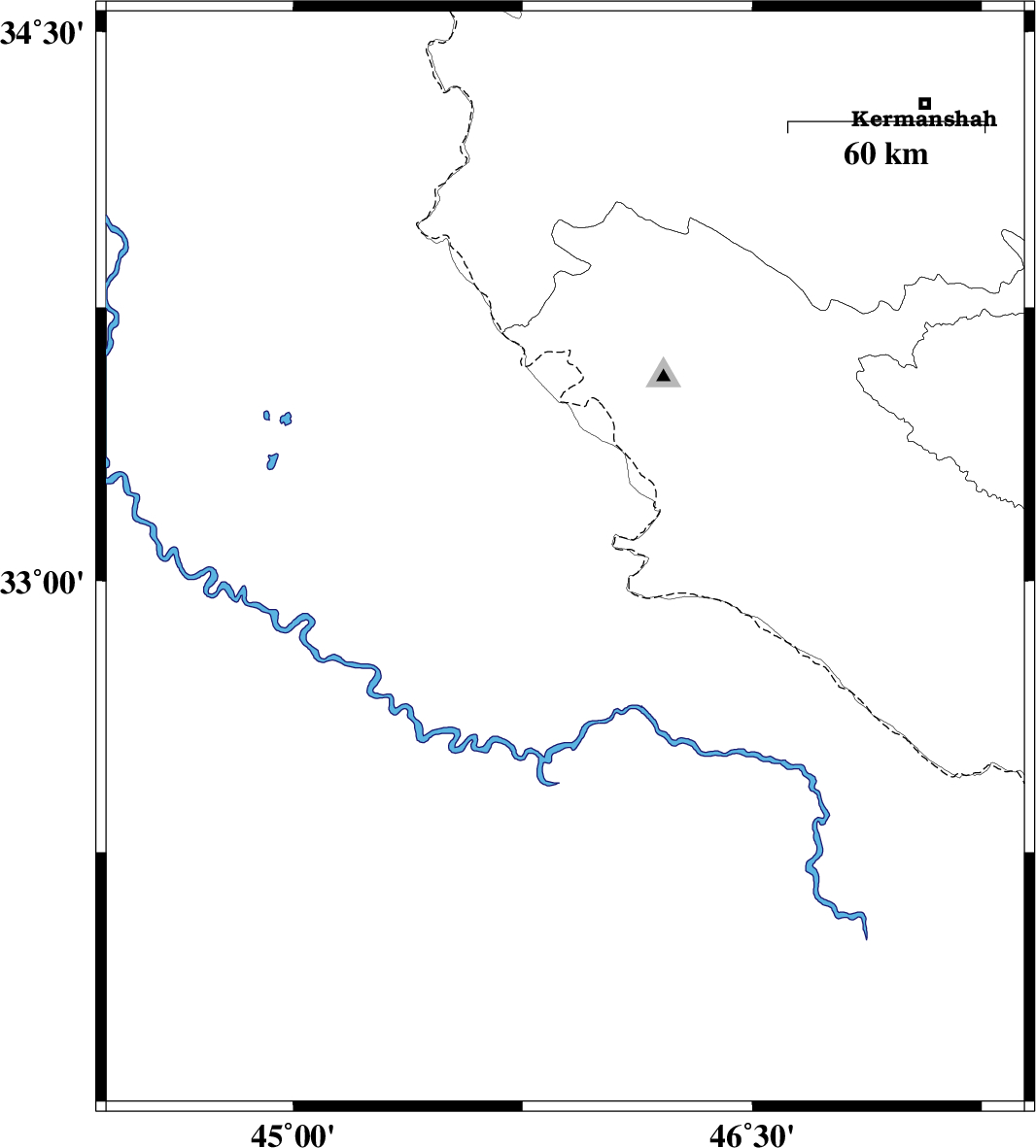
| 2018/04/15 | 14:49:16.7 | 19:19:16.7 | 34.025 | 46.361 | 14 | ML:2.8 | Kermanshah Province, 23 km North of Eyvan | ||
| 2018/04/13 | 19:55:06.3 | 00:25:06.3 | 34.344 | 45.75 | 15 | ML:2.8 | Kermanshah Province, 18 km South-West of Sar-e pol-e zahab | ||
| 2018/04/13 | 19:51:02.2 | 00:21:02.2 | 34.355 | 45.754 | 14 | ML:2.5 | Kermanshah Province, 17 km South-West of Sar-e pol-e zahab | ||
| 2018/04/13 | 14:29:36.0 | 18:59:36.0 | 34.315 | 45.525 | 14 | ML:2.8 | Iraq, 23 km South of Qasr-E-Shirin | ||
| 2018/04/13 | 03:14:06.1 | 07:44:06.1 | 32.894 | 46.693 | 14 | ML:3 | Ilam Province, 55 km South-East of Mehran | ||
| 2018/04/13 | 02:57:44.2 | 07:27:44.2 | 33.734 | 45.693 | 14 | ML:2.6 | Kermanshah Province, 50 km South-West of Gilan-E-Gharb | ||
| 2018/04/12 | 13:01:55.7 | 17:31:55.7 | 34.438 | 45.68 | 14 | ML:2.8 | Kermanshah Province, 12 km of Qasr-E-Shirin |