Home / Recent Earthquakes

| Prel. Rep. | Date | Time(UTC) | Time(Local) | Lat. | Lon. | Depth | Mag. | Region | Waveform |
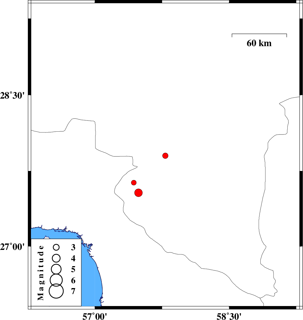
| 2018/07/01 | 19:25:45.9 | 23:55:45.9 | 27.901 | 57.787 | 18 | ML:2.8 | Kerman Province, 11 km of Kahnuj | ||
| 2018/06/28 | 01:11:01.3 | 05:41:01.3 | 27.634 | 57.435 | 14 | ML:2.6 | Kerman Province, 26 km North of Manujan | ||
| 2018/06/27 | 23:46:33.9 | 04:16:33.9 | 27.533 | 57.487 | 15 | ML:4 | Kerman Province, 14 km North of Manujan |