
| Prel. Rep. | Date | Time(UTC) | Time(Local) | Lat. | Lon. | Depth | Mag. | Region | Waveform |
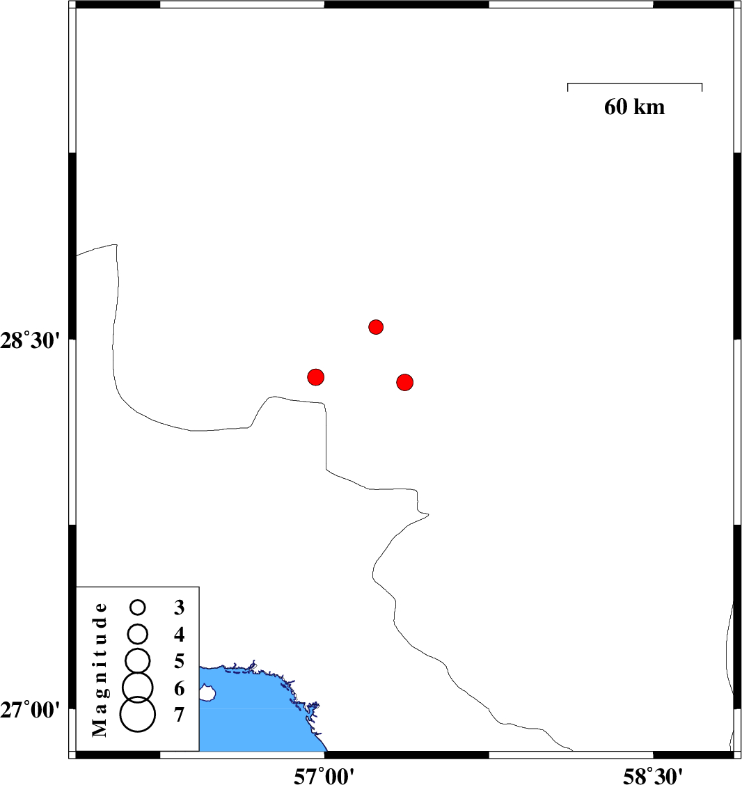
| 2018/12/13 | 17:30:03.6 | 21:00:03.6 | 28.327 | 57.366 | 14 | ML:3.4 | Kerman Province, 53 km North-West of Kahnuj | ||
| 2018/12/09 | 12:14:56.3 | 15:44:56.3 | 28.549 | 57.234 | 15 | ML:2.9 | Kerman Province, 51 km South-West of Jiroft | ||
| 2018/12/08 | 12:22:25.4 | 15:52:25.4 | 28.347 | 56.959 | 15 | ML:3.4 | Kerman Province, 104 km -East of Hajiabad |