
| Prel. Rep. | Date | Time(UTC) | Time(Local) | Lat. | Lon. | Depth | Mag. | Region | Waveform |
| 2019/03/13 | 12:06:39.2 | 15:36:39.2 | 29.53 | 56.67 | 25 | ML:4 | Kerman Province, 33 km North of Baft | ||
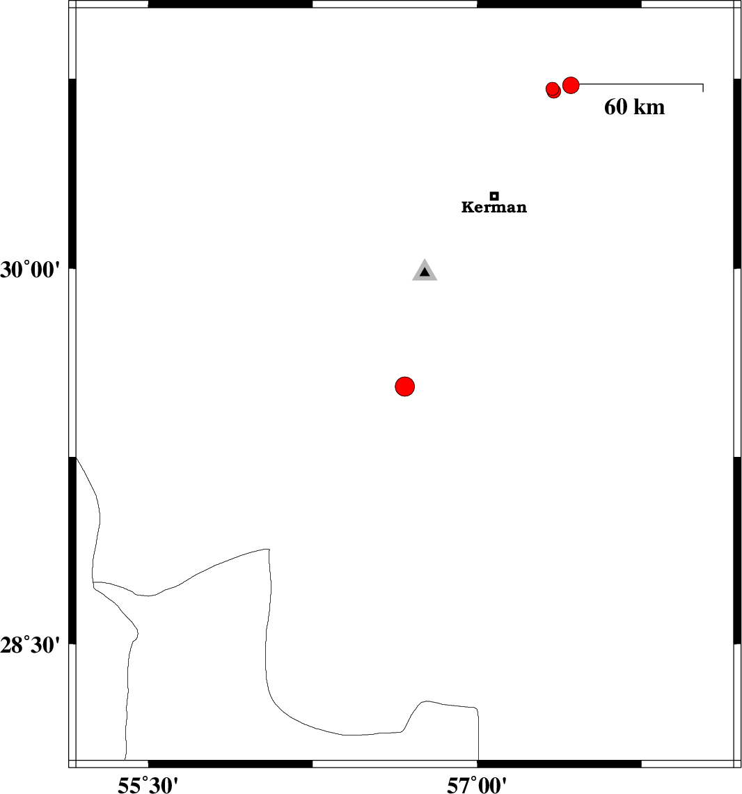
| 2019/03/11 | 07:04:34.9 | 10:34:34.9 | 30.724 | 57.427 | 15 | ML:3.4 | Kerman Province, 59 km North-East of Kerman | ||
| 2019/03/10 | 17:36:53.7 | 21:06:53.7 | 30.711 | 57.343 | 14 | ML:2.7 | Kerman Province, 53 km North-East of Kerman | ||
| 2019/03/06 | 23:07:05.6 | 02:37:05.6 | 30.701 | 57.349 | 14 | ML:2.8 | Kerman Province, 53 km North-East of Kerman |

 IIEES All Rights Reserved