
| Prel. Rep. | Date | Time(UTC) | Time(Local) | Lat. | Lon. | Depth | Mag. | Region | Waveform |
| 2020/10/02 | 20:08:59.2 | 23:38:59.2 | 35.64 | 52.54 | 10 | ML:2.8 | Tehran Province, 24 km South-West of Firuzkuh | ||
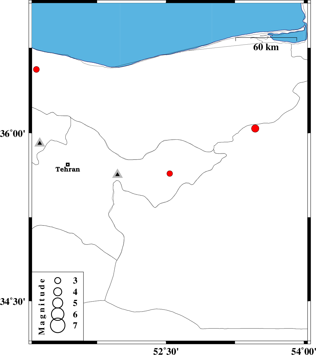
| 2020/09/30 | 04:11:30.7 | 07:41:30.7 | 36.56 | 51.09 | 10 | ML:3 | Mazandaran Province, 31 km -West of Chalus | ||
| 2020/09/27 | 07:08:59.2 | 10:38:59.2 | 36.04 | 53.47 | 10 | ML:3.7 | Semnan Province, 38 km -East of Pol-E-Sefid |

 IIEES All Rights Reserved