Home / Recent Earthquakes

| Prel. Rep. | Date | Time(UTC) | Time(Local) | Lat. | Lon. | Depth | Mag. | Region | Waveform |
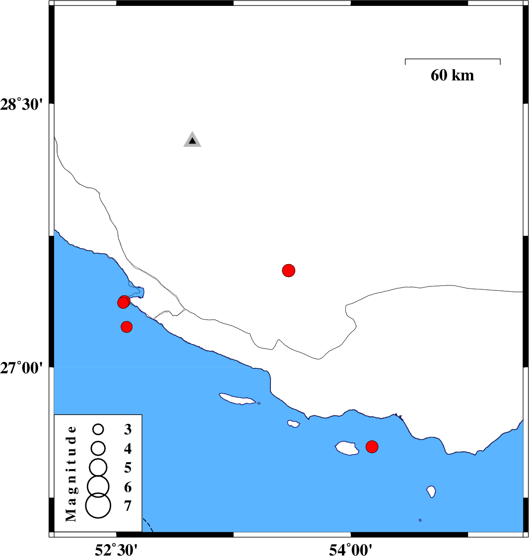
| 2025/09/11 | 16:58:20.7 | 20:28:20.7 | 27.552 | 53.602 | 12 | ML:3.7 | Fars Province, 49 km North-East of Lamerd | ||
| 2025/09/10 | 22:28:31.7 | 01:58:31.7 | 27.368 | 52.544 | 12 | ML:3.3 | Persian Gulf, 39 km South-West of Mehr | ||
| 2025/09/10 | 19:37:31.4 | 23:07:31.4 | 27.23 | 52.566 | 12 | ML:3.3 | Persian Gulf, 47 km South-West of Mehr | ||
| 2025/09/10 | 07:20:02.6 | 10:50:02.6 | 26.543 | 54.136 | 12 | ML:3.5 | Persian Gulf, 71 km -West of Bandar-e lengeh | ||
| 2025/09/06 | 07:30:45.0 | 11:00:45.0 | 27.377 | 52.552 | 16 | ML:3.4 | Persian Gulf, 38 km South-West of Mehr |