
| Prel. Rep. | Date | Time(UTC) | Time(Local) | Lat. | Lon. | Depth | Mag. | Region | Waveform |
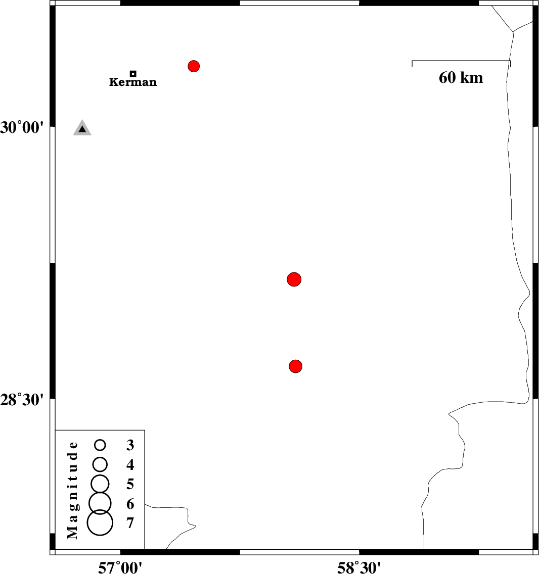
| 2007/12/25 | 15:34:52.9 | 19:04:52.9 | 29.16 | 58.09 | 14 | ML:4 | 26 km West of Bam, Kerman Province | ||
| 2007/12/22 | 10:04:39.7 | 13:34:39.7 | 28.68 | 58.1 | 14 | ML:3.6 | 35 km East of Jiroft, Kerman Province | ||
| 2007/12/20 | 01:53:24.1 | 05:23:24.1 | 30.33 | 57.46 | 31 | ML:3.3 | 36 km East of Kerman, Kerman Province |