| Prel. Rep. | Date | Time(UTC) | Time(Local) | Lat. | Lon. | Depth | Mag. | Region | Waveform |
|
|
2007/12/27
|
09:21:51.2
|
12:51:51.2
| 31.3 | 56.46 | 14 |
ML:3.7
|
33 km West of Ravar, Kerman Province | |
|
|
2007/12/20
|
01:53:24.1
|
05:23:24.1
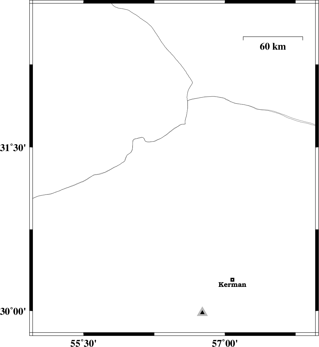
| 30.33 | 57.46 | 31 |
ML:3.3
|
36 km East of Kerman, Kerman Province | |
|
|
2007/12/13
|
01:05:05.1
|
04:35:05.1
| 29.93 | 57.49 | 15 |
ML:2.9
|
55 km South-East of Kerman, Kerman Province | |
|
|
2007/12/08
|
11:02:30.3
|
14:32:30.3
| 31.22 | 56.33 | 15 |
ML:3.1
|
46 km West of Ravar, Kerman Province | |
|
|
2007/12/06
|
21:02:04.1
|
00:32:04.1
| 31.38 | 56.29 | 14 |
ML:3.6
|
50 km North-West of Ravar, Kerman Province | |
|
|
2007/12/05
|
04:45:02.7
|
08:15:02.7
| 30.55 | 56.68 | 14 |
ML:3.1
|
30 km South-East of Zarand, Kerman Province | |
|
|
2007/12/01
|
16:55:22.5
|
20:25:22.5
| 30.1 | 56.69 | 14 |
ML:3.8
|
22 km North-East of Bardsir, Kerman Province | |