
| Prel. Rep. | Date | Time(UTC) | Time(Local) | Lat. | Lon. | Depth | Mag. | Region | Waveform |
| 2008/01/26 | 00:22:30.6 | 03:52:30.6 | 30.65 | 56.89 | 6 | ML:2.7 | 35 km South-East of Zarand, Kerman Province | ||
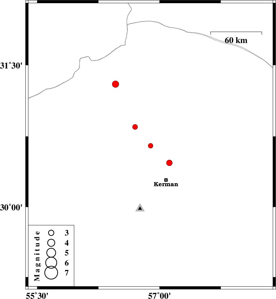
| 2008/01/05 | 01:01:10.6 | 04:31:10.6 | 30.85 | 56.7 | 18 | ML:2.8 | 12 km East of Zarand, Kerman Province | ||
| 2007/12/31 | 05:04:50.2 | 08:34:50.2 | 30.47 | 57.12 | 10 | ML:3.2 | 21 km North of Kerman, Kerman Province | ||
| 2007/12/27 | 09:21:51.2 | 12:51:51.2 | 31.3 | 56.46 | 14 | ML:3.7 | 33 km West of Ravar, Kerman Province |