| Prel. Rep. | Date | Time(UTC) | Time(Local) | Lat. | Lon. | Depth | Mag. | Region | Waveform |
|
|
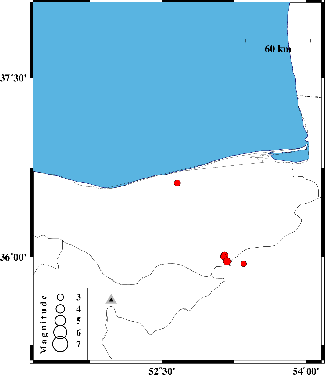
2008/02/03
|
13:16:19.7
|
16:46:19.7
| 36.62 | 52.66 | 15 |
ML:2.9
|
8 km Babolsar, Mazandaran Province | |
|
|
2008/01/14
|
14:05:52.6
|
17:35:52.6
| 35.94 | 53.35 | 15 |
ML:2.7
|
32 km South-East of Pol-E-Sefid, Mazandaran Province | |
|
|
2008/01/14
|
07:54:02.2
|
11:24:02.2
| 35.96 | 53.18 | 16 |
ML:3.5
|
20 km South-East of Pol-E-Sefid, Mazandaran Province | |
|
|
2008/01/14
|
07:52:34.9
|
11:22:34.9
| 36 | 53.14 | 16 |
ML:2.7
|
15 km South of Pol-E-Sefid, Mazandaran Province | |
|
|
2008/01/07
|
09:46:57.3
|
13:16:57.3
| 36.01 | 53.15 | 15 |
ML:3.5
|
13 km Pol-E-Sefid, Mazandaran Province | |