
| Prel. Rep. | Date | Time(UTC) | Time(Local) | Lat. | Lon. | Depth | Mag. | Region | Waveform |
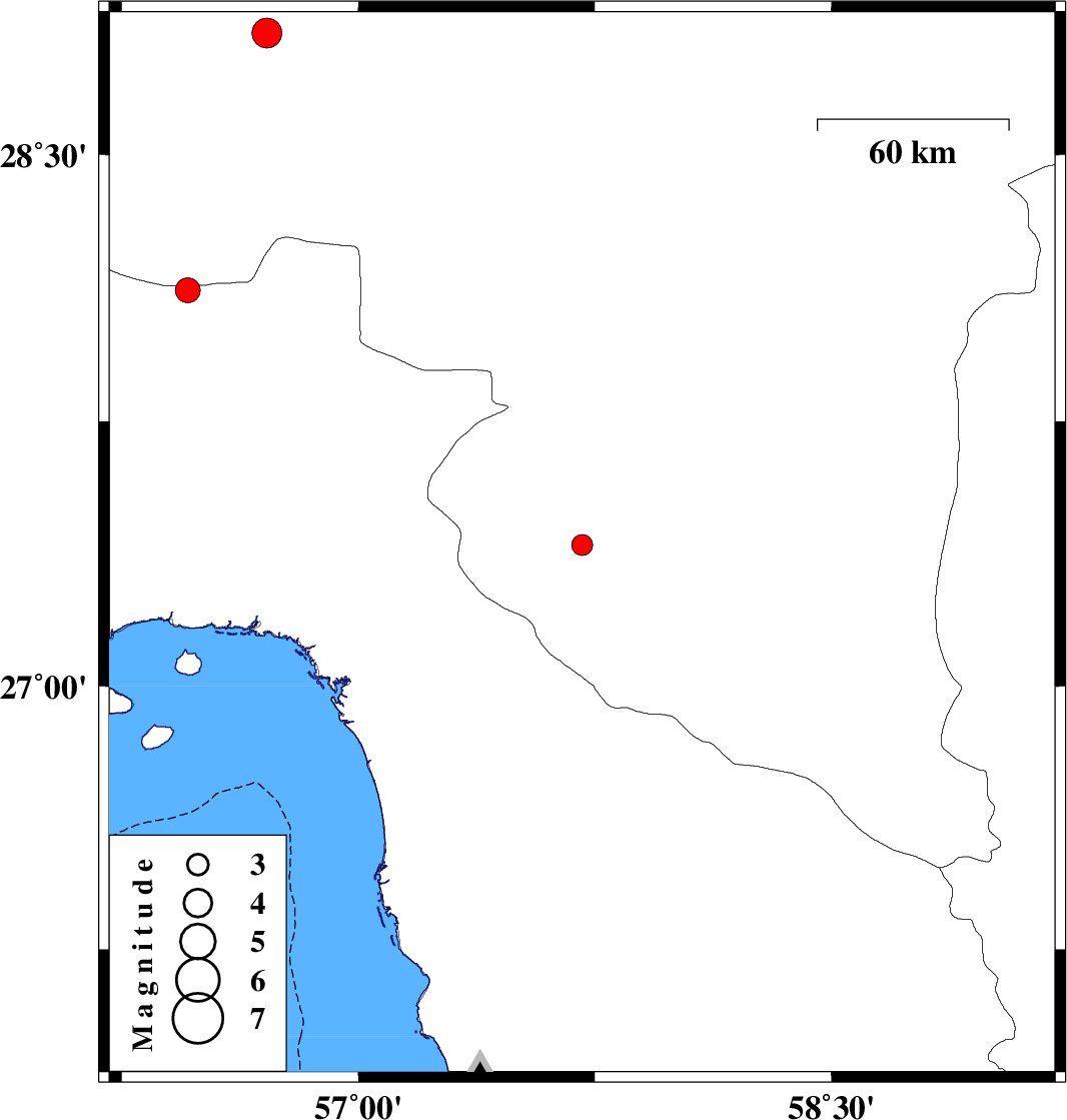
| 2008/03/30 | 05:34:17.9 | 10:04:17.9 | 27.4 | 57.71 | 15 | ML:2.9 | 21 km East of Manujan, Kerman Province | ||
| 2008/03/28 | 18:04:58.4 | 22:34:58.4 | 28.84 | 56.71 | 15 | ML:4.3 | 45 km South-East of Baft, Kerman Province | ||
| 2008/03/23 | 06:51:53.2 | 11:21:53.2 | 28.12 | 56.46 | 15 | ML:3.5 | 58 km South-East of Hajiabad, Hormozgan Province |