Skip to content
021-22830830
info@iiees.ac.ir
Search ...
Results
menu-hamburger-solid
About Us
Close About Us
Open About Us
History
Formation Process
History of Formation
Former Presidents
Timeline of Important Events
Honors
Specialized Fields
Strategic Goals and Missions
Future Outlook
Boards & Councils
Organisation Chart
Faculty
Memorandum of Understanding
Contact Us
Divisions & Centers
Close Divisions & Centers
Open Divisions & Centers
Presidency
IIEES President
President Office, Supervision and Evaluation Office
Public Relations and International Affairs
Planning Group
Security Office
Construction Projects and Technical Affairs Department
Vice Presidencies
Vice Presidency for Technology
Vice Presidency for Research and Postgraduate Studies
Vice Presidency for Administrative, Financial and Human Resources Development
Research Centers
Seismological Research Center
Geotechnical Engineering Research Center
Structural Engineering Research Center
Risk Management Research Center
Centers
Iranian National Broadband Seismic Network
Earthquake Prediction Center
Infrastructures
Close Infrastructures
Open Infrastructures
Central Advanced Earthquake Engineering Lab.
Geotechnical Centrifuge Lab.
Strong Floor & Shaking Table Lab.
Geotechnical Engineering Lab.
Structural Engineering Lab.
Seismology Lab.
Laboratory Equipment
Data Recording Platforms
Seismic Stations
Seismic Sensors
Accelerometer Sensor
Displacement Transducers
Strain Gauges
Pressure Gauges
Data Processing Platforms
Softwares
High-performance Computing Center
Platforms for Building Scaled Models
Equipment and Loading
Library and Documentation Centre
Audio-visual Spaces
Research & Technology
Close Research & Technology
Open Research & Technology
IIEES Research Roadmap
Completed Research Projects
Current Research Projects
Our Research Program 2021-2031
Fields of International Cooperation
Data and Information
Online Data
Raw Measurement Data
Data Collected from other Sources
Processed Data
GPS Waypoints & Field Notebook
Field Visit Images
Products
Final Research Products
Research Reports
Theses
Books
Softwares
Patents
Laboratory Equipment Manufacturing
Articles
Seminars and Webinars
Training Courses
Public Education
Educational Clips
Intermediate Research Products
Middleware
Computer Models
Model Analysis Outputs
Design Information
Calibration Information
Process of Soft Computing
Generated data
Testing Guidelines
Raw Results
Services
Consulting
Technology Projects
Conducting Regulations
Laboratory Services
Field Surveys
Publications
Journal of Seismology and Earthquake Engineering (JSEE)
Bulletin of Earthquake Science and Engineering
SEE Conferences
Media
Close Media
Open Media
Press
Events
Multi Hazards
Science and Technology
News archive
Research Institute in Cyberspace
ReserchGate
Google scholar
Linkedin
WhatsApp
Earthquake Monitoring Systems
Rapid Assessment of Iran Seismic Events (RAISE)
IIEES Eathquake Process Program (EPP)
Safety Culture
Earthquake Safety Guide
Public Education
Sound and Image
About IIEES
Research Centers
Laboratories and Equipment
Data
Products
Services
IIEES Outstanding Research
Significant Recent Advances in Global Research
Earthquake Footage
Images of before and after earthquakes
Field Visit Images
Applications
Scientific Events
Calendar of Significant Past Earthquakes
Links
Communication Systems
Annual Performance
Scientific Seminars
Scientific Links
Search ...
Results
Systems
ترفیع هیات علمی
ترفیع کارکنان
کتابخانه
سامانه آموزشی
پست الکترونیکی
FA
Home
/
Recent Earthquakes
Recent Earthquakes
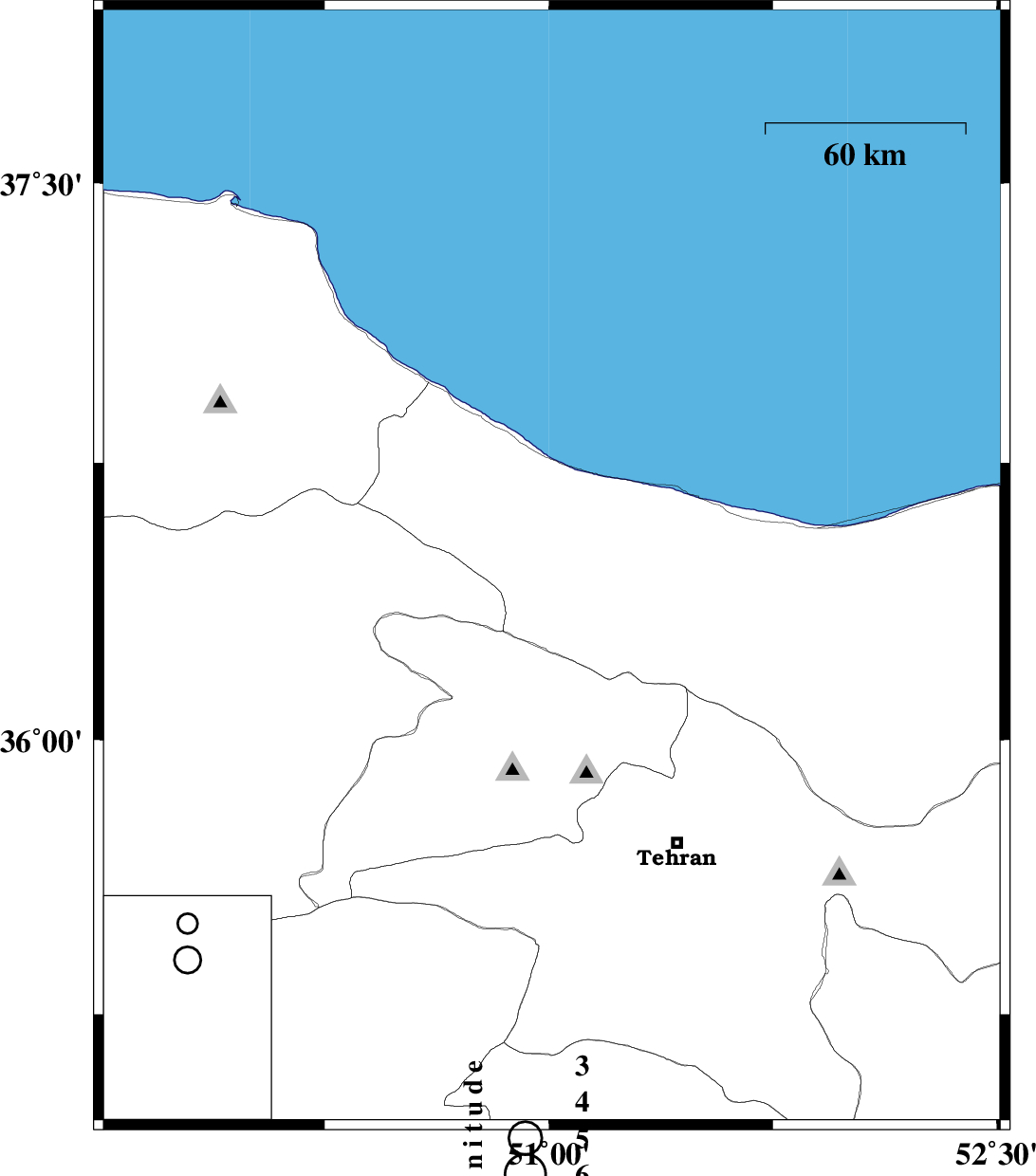
Map Region : lat:34.96-37.96 lon:49.51-52.51
Map's coordinate is invalid
North
*
*
West
*
*
East
*
*
South
*
*
Show Cities
Province Center
None
Province And Township Center
Show Foreign Cities
Yes
No
Show Fault Mechanism
Yes
No
Show Province Boundaries
Yes
No
Show Stations
No
Yes With Name
Yes Without Name
Map Title
Invalid Title
Get Ascii Data in Format :
List
Seisan
GSE2.0
Prel. Rep.
Date
Time(UTC)
Time(Local)
Lat.
Lon.
Depth
Mag.
Region
Waveform
2008/10/17
21:01:21.9
00:31:21.9
36.46
51.01
18
ML:2.9
40 km South-East of Tonekabon, Mazandaran Province
Library
Email