| Prel. Rep. | Date | Time(UTC) | Time(Local) | Lat. | Lon. | Depth | Mag. | Region | Waveform |
|
|
2010/03/08
|
16:39:35.2
|
20:09:35.2
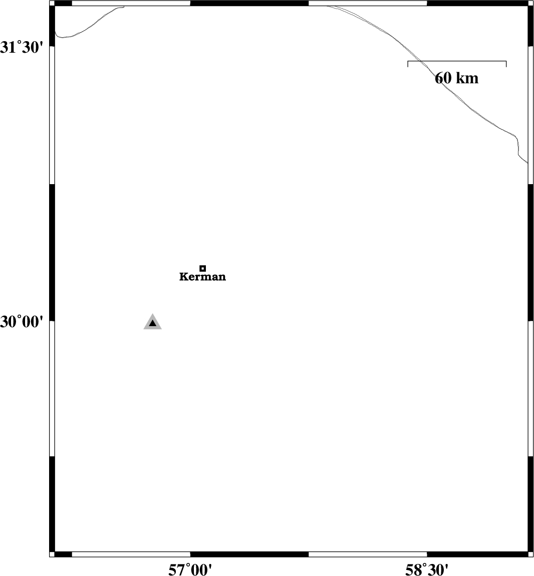
| 30.3 | 57.7 | 14 |
ML:3.8
|
Kerman Province, 60 km East of Kerman | |
|
|
2010/03/08
|
15:22:35.1
|
18:52:35.1
| 30.22 | 57.64 | 28 |
ML:2.8
|
Kerman Province, 54 km East of Kerman | |
|
|
2010/03/04
|
15:39:56.3
|
19:09:56.3
| 31.47 | 56.69 | 38 |
ML:3.1
|
Kerman Province, 26 km North-West of Ravar | |
|
|
2010/03/01
|
21:17:30.7
|
00:47:30.7
| 31.09 | 56.96 | 15 |
ML:3.6
|
Kerman Province, 24 km South-East of Ravar | |
|
|
2010/02/27
|
13:01:40.8
|
16:31:40.8
| 28.95 | 56.65 | 15 |
ML:3.1
|
Kerman Province, 32 km South of Baft | |
|
|
2010/02/25
|
18:04:54.5
|
21:34:54.5
| 28.73 | 57.87 | 43 |
ML:3.1
|
Kerman Province, 14 km East of Jiroft | |
|
|
2010/02/16
|
08:18:59.4
|
11:48:59.4
| 29.59 | 57.48 | 6 |
ML:3.2
|
86 km South-East of Kerman, Kerman Province | |
|
|
2010/02/07
|
08:15:03.3
|
11:45:03.3
| 30.07 | 57.57 | 6 |
ML:3.1
|
53 km South-East of Kerman, Kerman Province | |
|
|
2010/02/07
|
08:13:04.4
|
11:43:04.4
| 30.27 | 57.64 | 15 |
ML:3.2
|
53 km East of Kerman, Kerman Province | |
|
|
2010/02/07
|
07:55:01.0
|
11:25:01.0
| 30.04 | 57.55 | 6 |
ML:3
|
52 km South-East of Kerman, Kerman Province | |