| Prel. Rep. | Date | Time(UTC) | Time(Local) | Lat. | Lon. | Depth | Mag. | Region | Waveform |
|
|
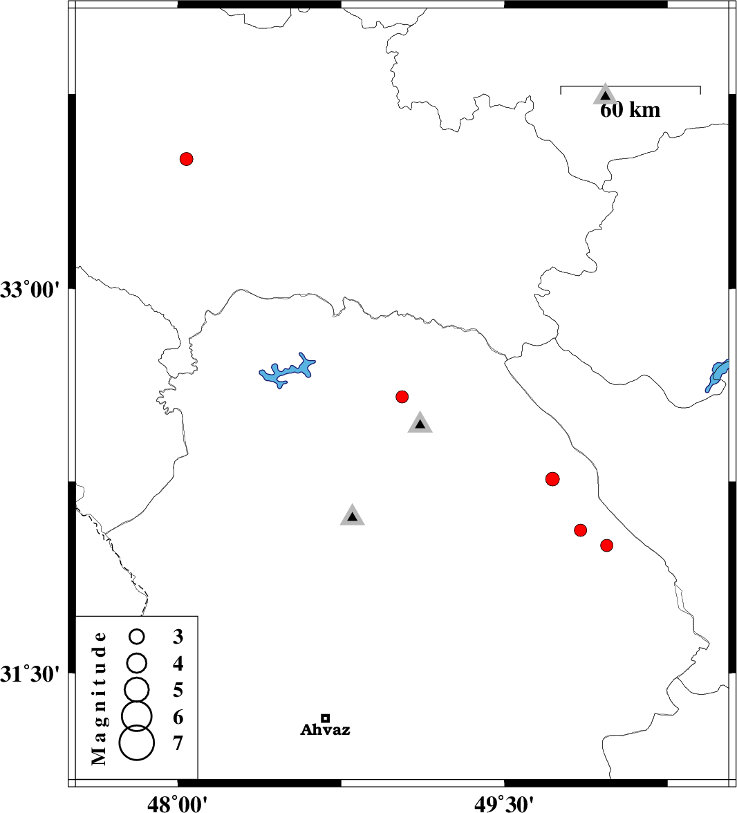
2009/07/21
|
00:27:05.7
|
04:57:05.7
| 32.58 | 49.03 | 48 |
ML:2.5
|
Khoozestan Province, 22 km North of Lali | |
|
|
2009/07/16
|
21:28:21.2
|
01:58:21.2
| 32.06 | 49.85 | 46 |
ML:2.5
|
Khoozestan Province, 25 km North of Izeh | |
|
|
2009/07/16
|
21:25:33.1
|
01:55:33.1
| 32 | 49.97 | 18 |
ML:2.5
|
Khoozestan Province, 20 km North of Izeh | |
|
|
2009/07/15
|
21:32:04.7
|
02:02:04.7
| 33.5 | 48.04 | 14 |
ML:2.7
|
Lorestan Province, 30 km West of Khorramabad | |
|
|
2009/07/14
|
03:16:40.6
|
07:46:40.6
| 32.26 | 49.72 | 46 |
ML:2.8
|
Khoozestan Province, 49 km North-West of Izeh | |