
| Prel. Rep. | Date | Time(UTC) | Time(Local) | Lat. | Lon. | Depth | Mag. | Region | Waveform |
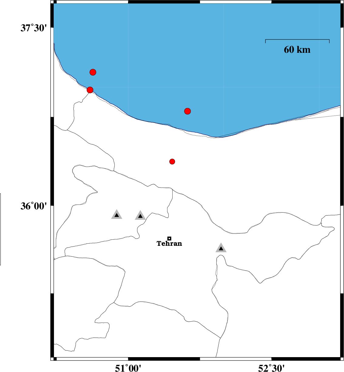
| 2009/10/08 | 03:59:00.4 | 07:29:00.4 | 36.2 | 51.72 | 21 | ML:3 | Mazandaran Province, 50 km North-East of Tajrish | ||
| 2009/09/22 | 18:01:59.0 | 21:31:59.0 | 36.02 | 52.74 | 16 | ML:2.9 | Mazandaran Province, 30 km North of Firuzkuh | ||
| 2009/09/11 | 08:07:55.3 | 12:37:55.3 | 35.59 | 52.58 | 14 | ML:2.6 | Tehran Province, 24 km South-West of Firuzkuh | ||
| 2009/09/08 | 01:29:45.6 | 05:59:45.6 | 36.35 | 51.75 | 17 | ML:2.9 | Mazandaran Province, 35 km South-West of Nur |