| Prel. Rep. | Date | Time(UTC) | Time(Local) | Lat. | Lon. | Depth | Mag. | Region | Waveform |
|
|
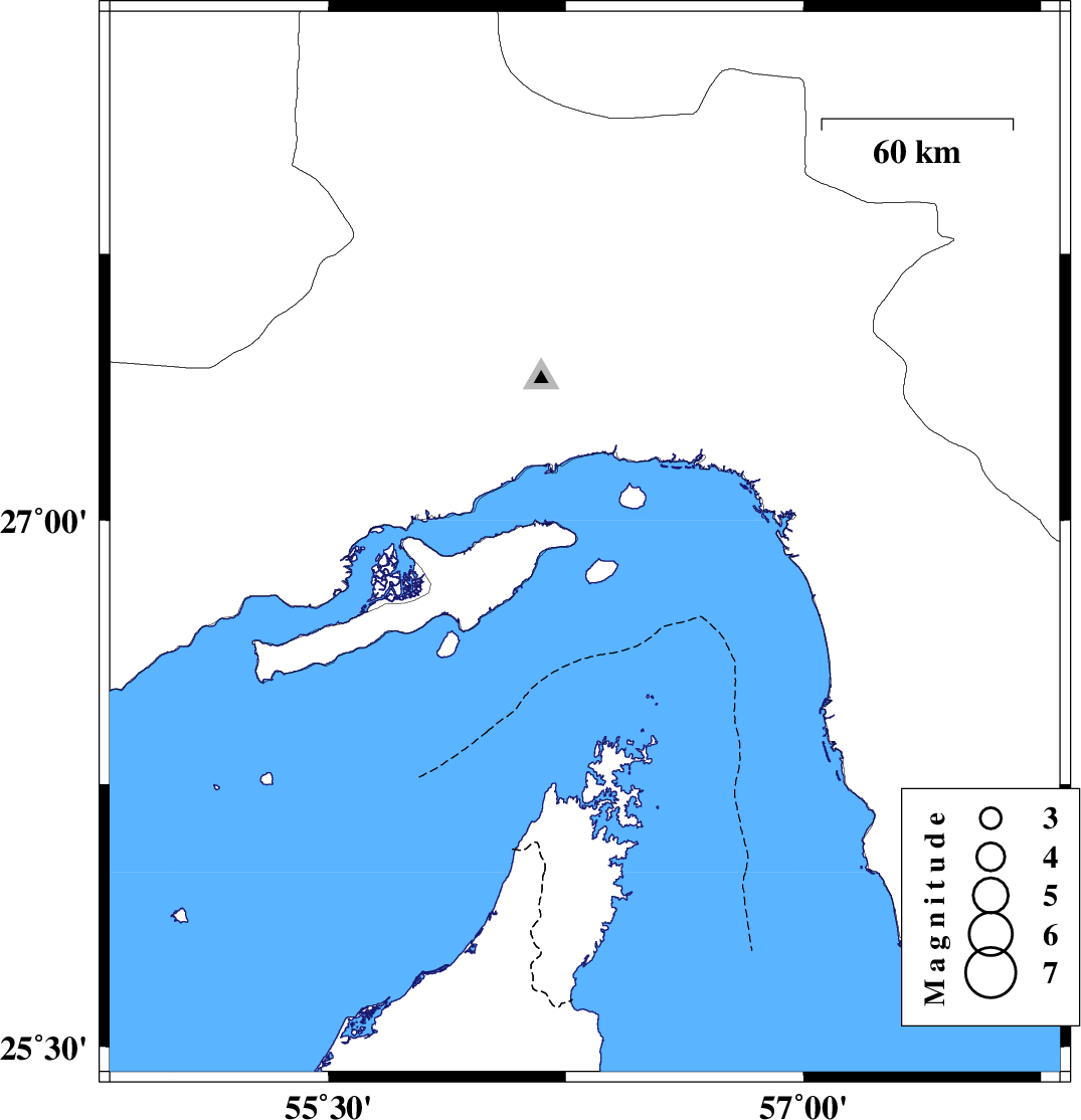
2010/07/14
|
14:12:49.4
|
18:42:49.4
| 26.93 | 56.31 | 8 |
ML:3.5
|
Persian Gulf, 5 km Qeshm | |
|
|
2010/07/08
|
10:29:41.8
|
14:59:41.8
| 28.02 | 57.01 | 14 |
ML:3.2
|
Kerman Province, 68 km West of Kahnuj | |
|
|
2010/06/30
|
04:13:59.7
|
08:43:59.7
| 27.83 | 56.7 | 14 |
ML:3.3
|
Hormozgan Province, 70 km North-West of Dehbarez | |
|
|
2010/06/24
|
22:54:34.1
|
03:24:34.1
| 28.43 | 57.08 | 30 |
ML:3.1
|
Kerman Province, 70 km South-West of Jiroft | |
|
|
2010/06/14
|
08:11:39.7
|
12:41:39.7
| 28.31 | 57.17 | 14 |
ML:3.9
|
Kerman Province, 65 km North-West of Kahnuj | |
|
|
2010/06/14
|
04:14:53.5
|
08:44:53.5
| 28.32 | 57.21 | 14 |
ML:4.4
|
Kerman Province, 63 km North-West of Kahnuj | |
|
|
2010/06/14
|
04:13:45.8
|
08:43:45.8
| 28.33 | 57.12 | 15 |
ML:4
|
Kerman Province, 70 km North-West of Kahnuj | |